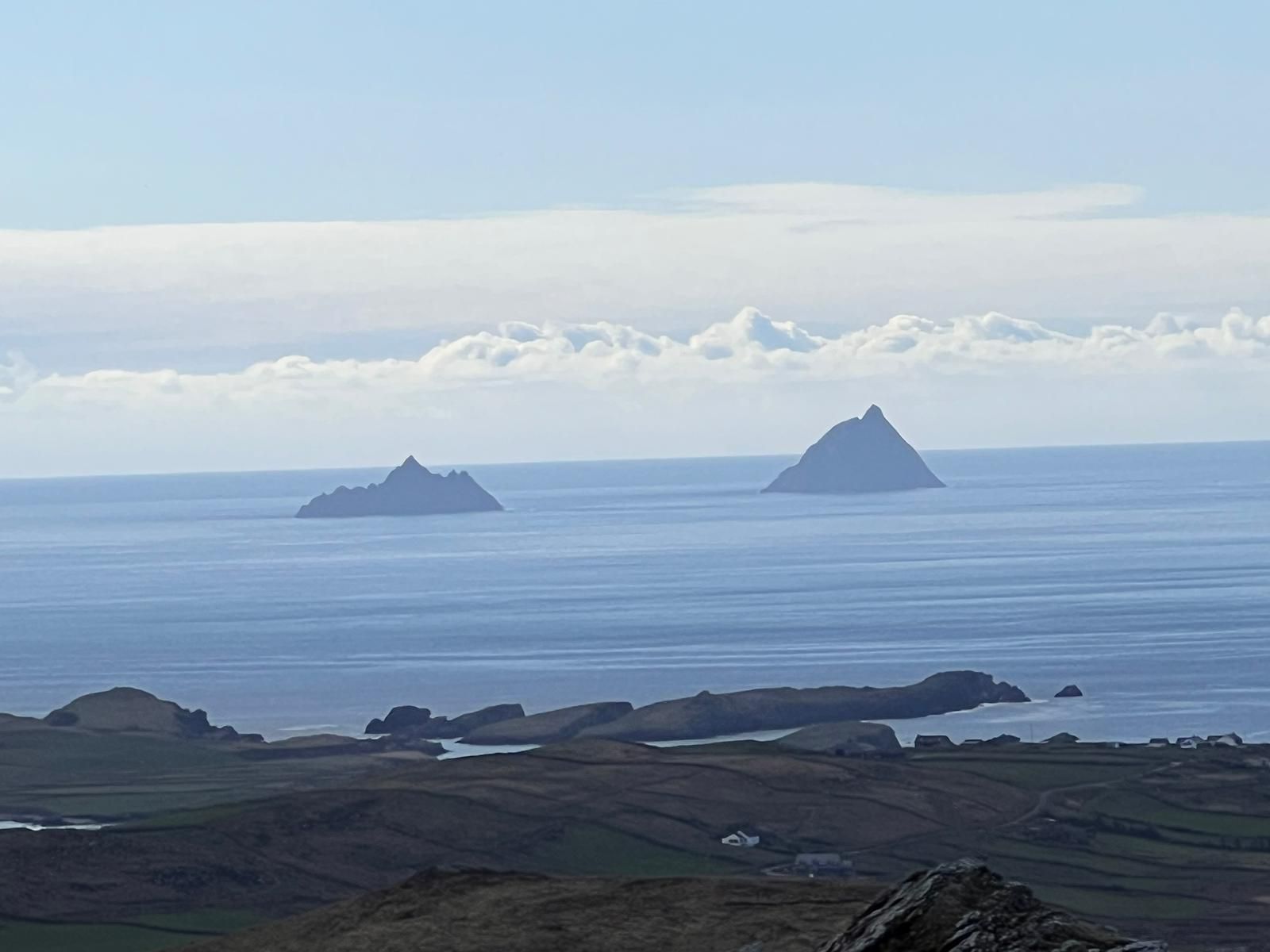
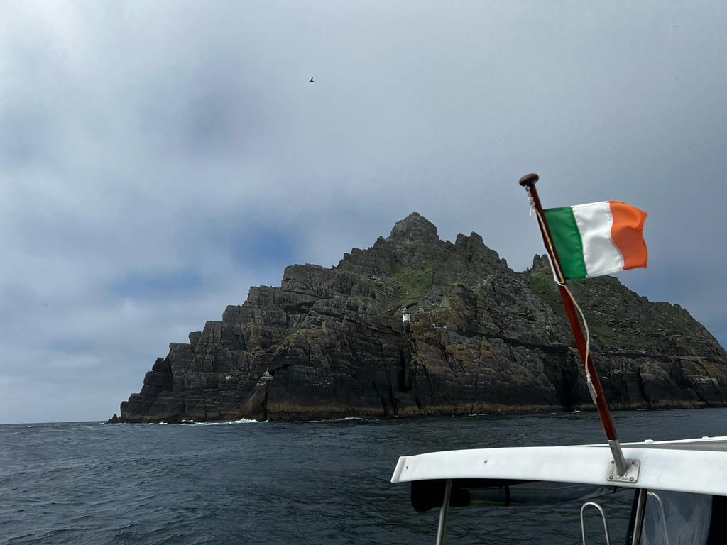
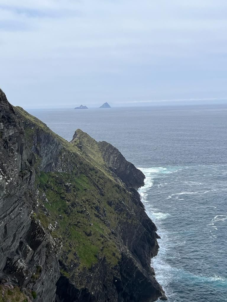
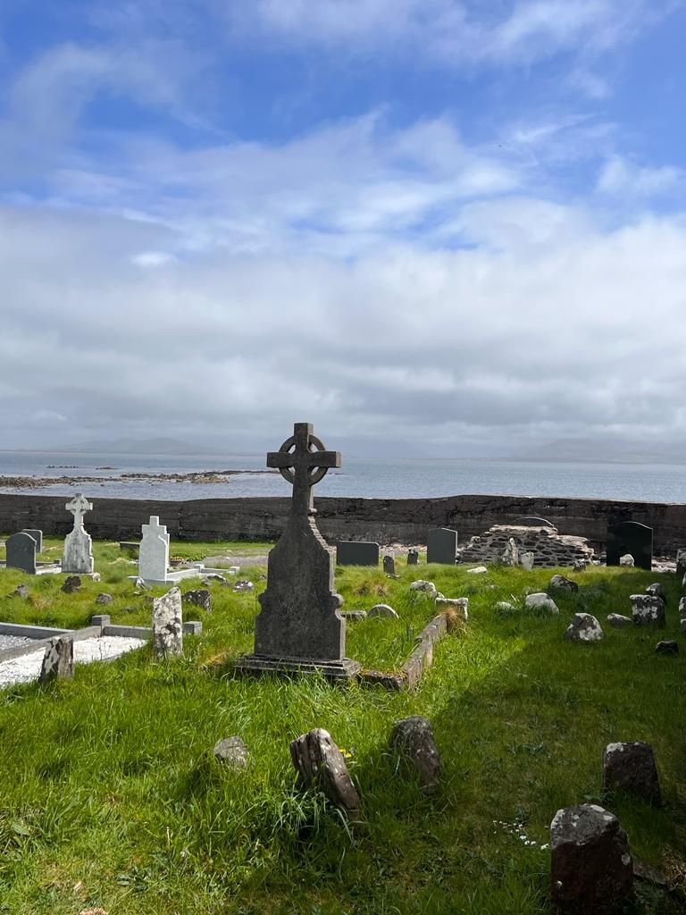
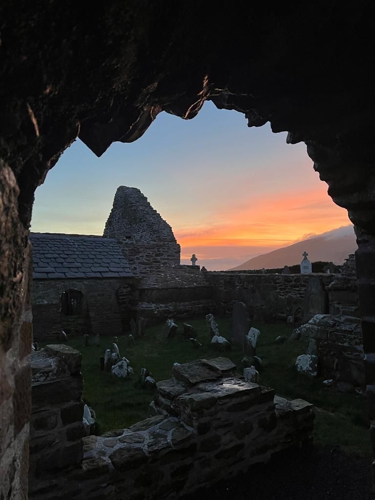
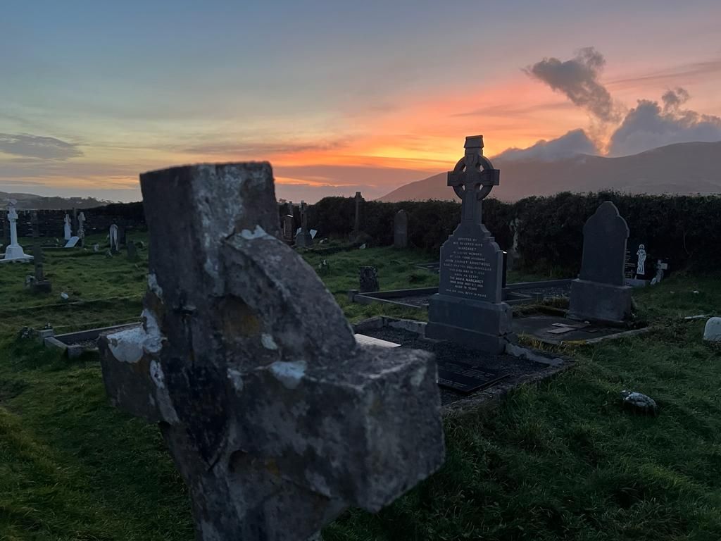
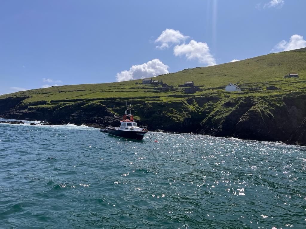
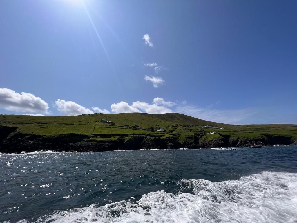
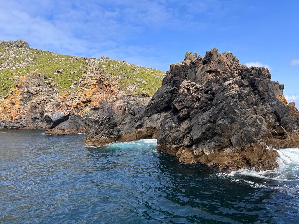
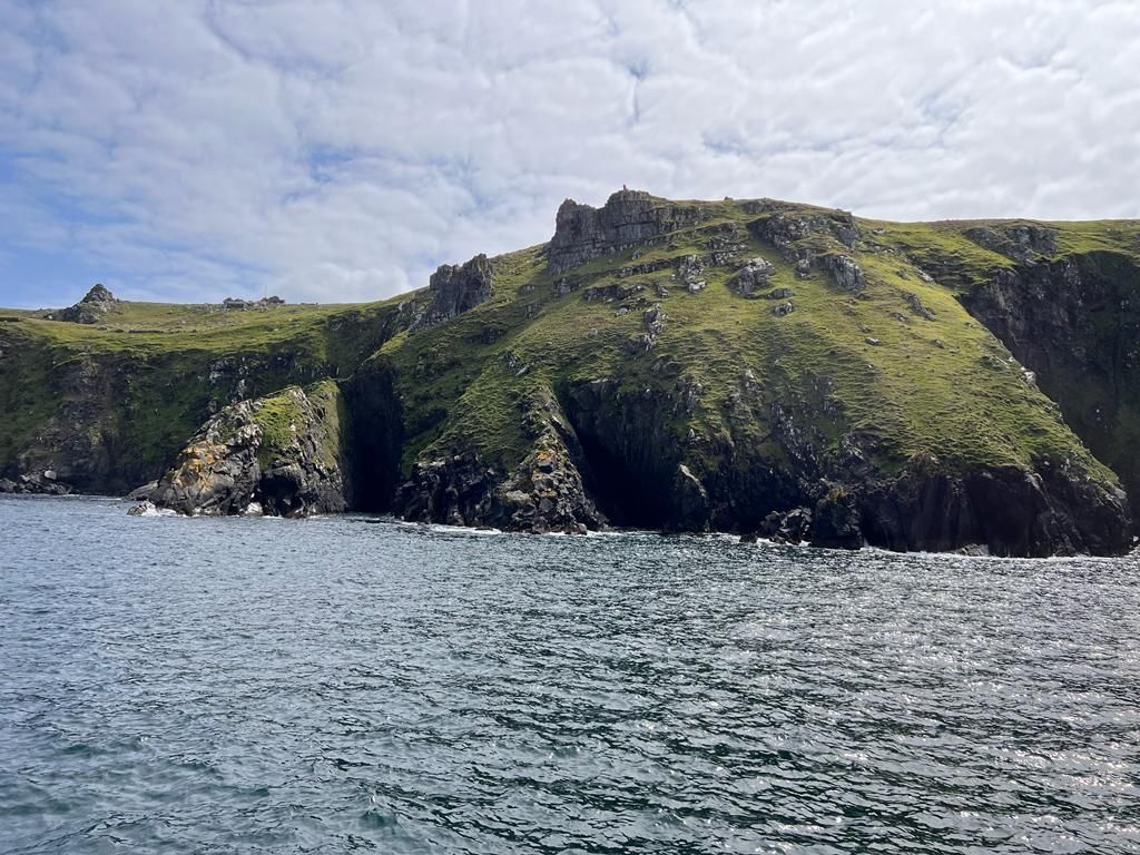
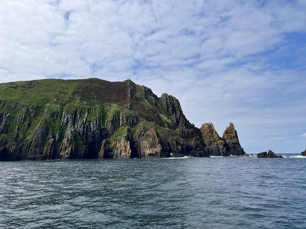
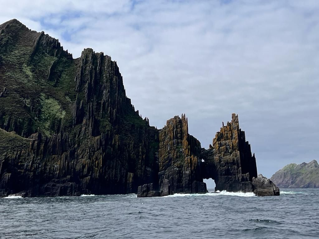
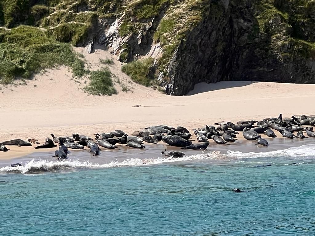
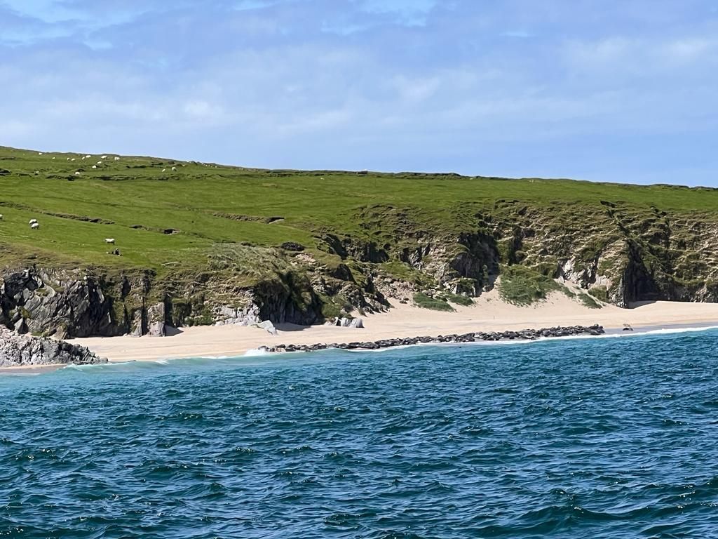
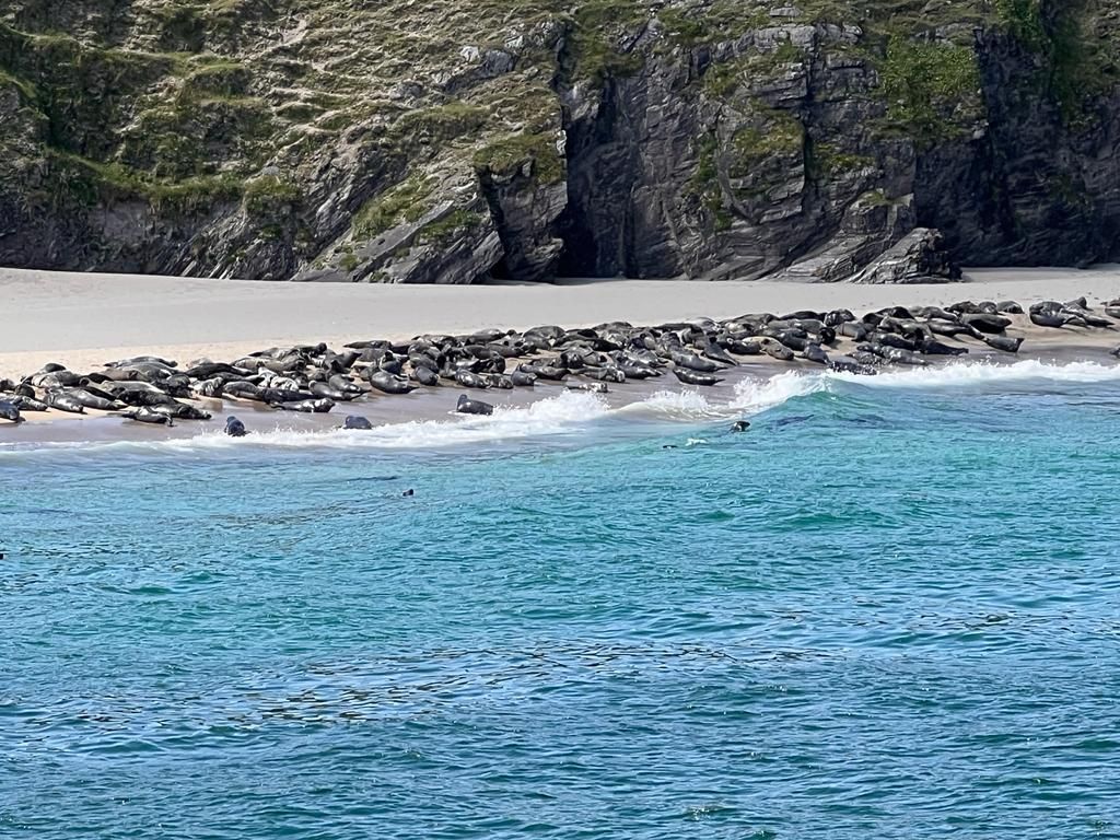
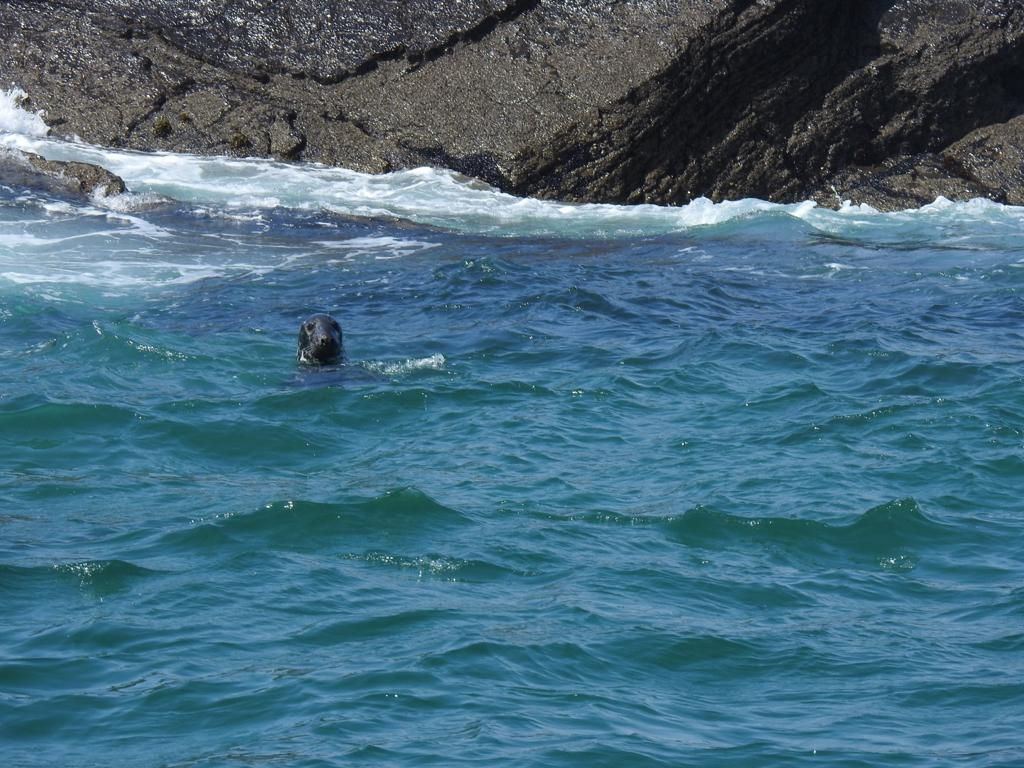
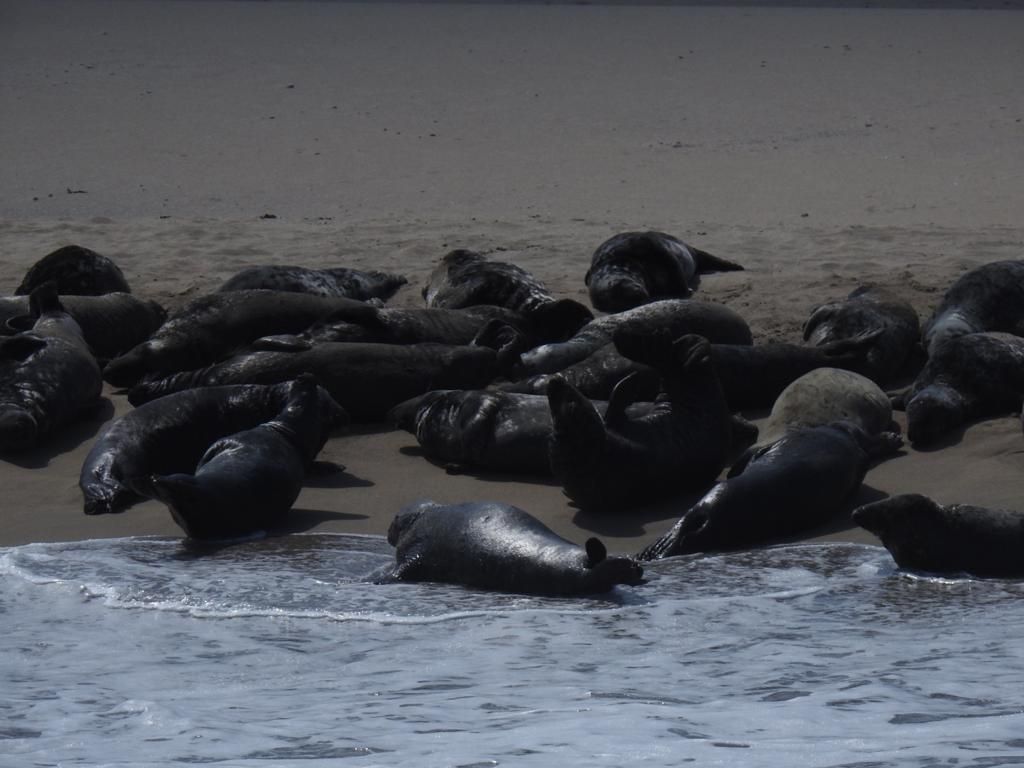
Skellig Michael
The magnificent Skellig Michael is one of only two UNESCO World Heritage Sites in the Republic of Ireland.
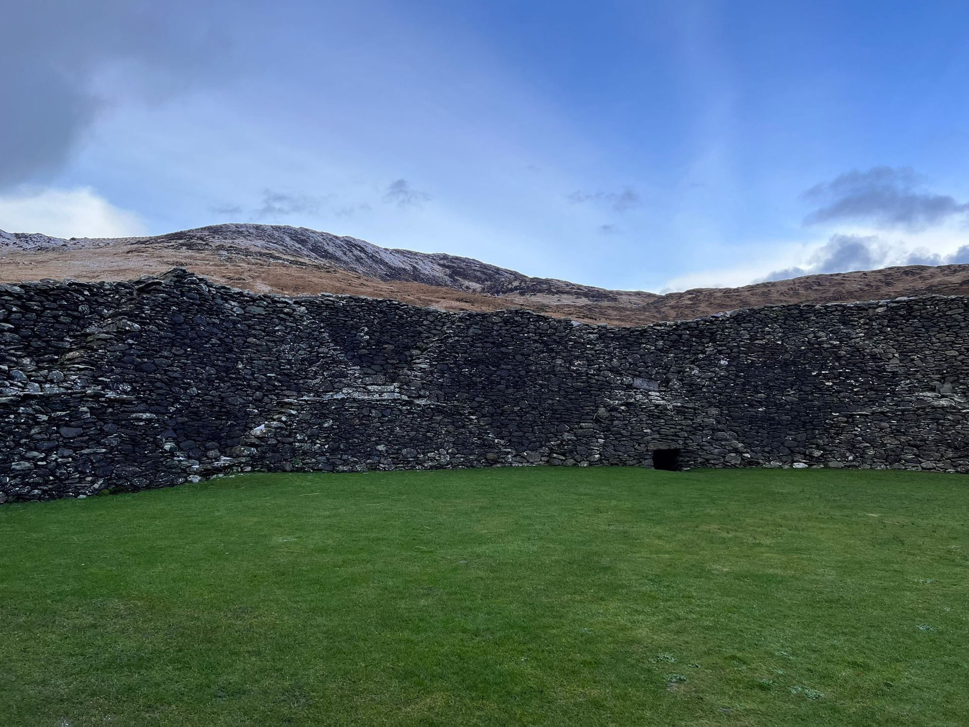
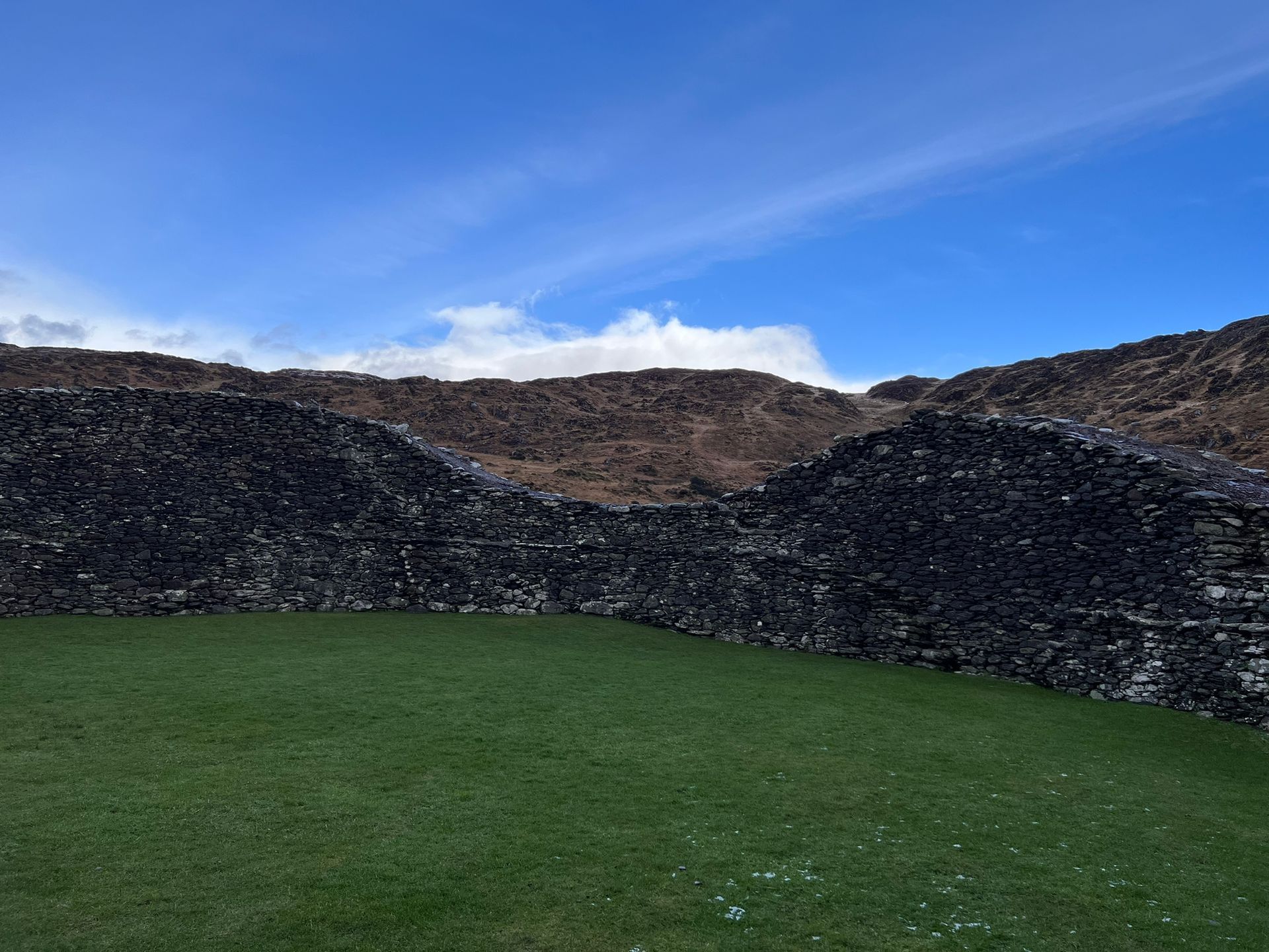
On the summit of this awe-inspiring rock off the Kerry coast is St Fionan’s monastery, one of the earliest foundations in the country. The monks who lived there prayed and slept in beehive-shaped huts made of stone, many of which remain to this day.
The monks left the island in the thirteenth century. It became a place of pilgrimage, during the time of the Penal Laws and a haven for Catholics.
It has risen to dramatic prominence due to its starring role as Luke Skywalker’s Island Sanctuary on the planet Ahch-To in both Star Wars Episode VII: The Force Awakens and Star Wars Episode VIII: The Last Jedi.
Distance: 21km to Portmagee than with a Boat
(pictures below)


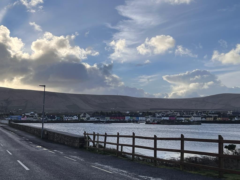
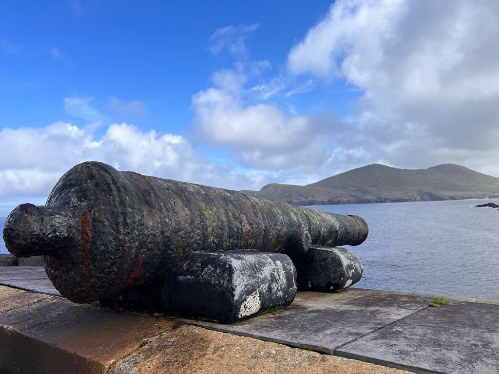
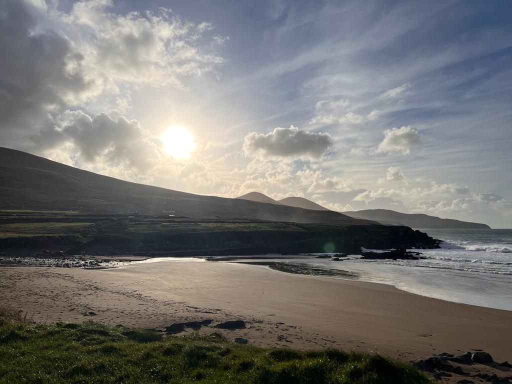
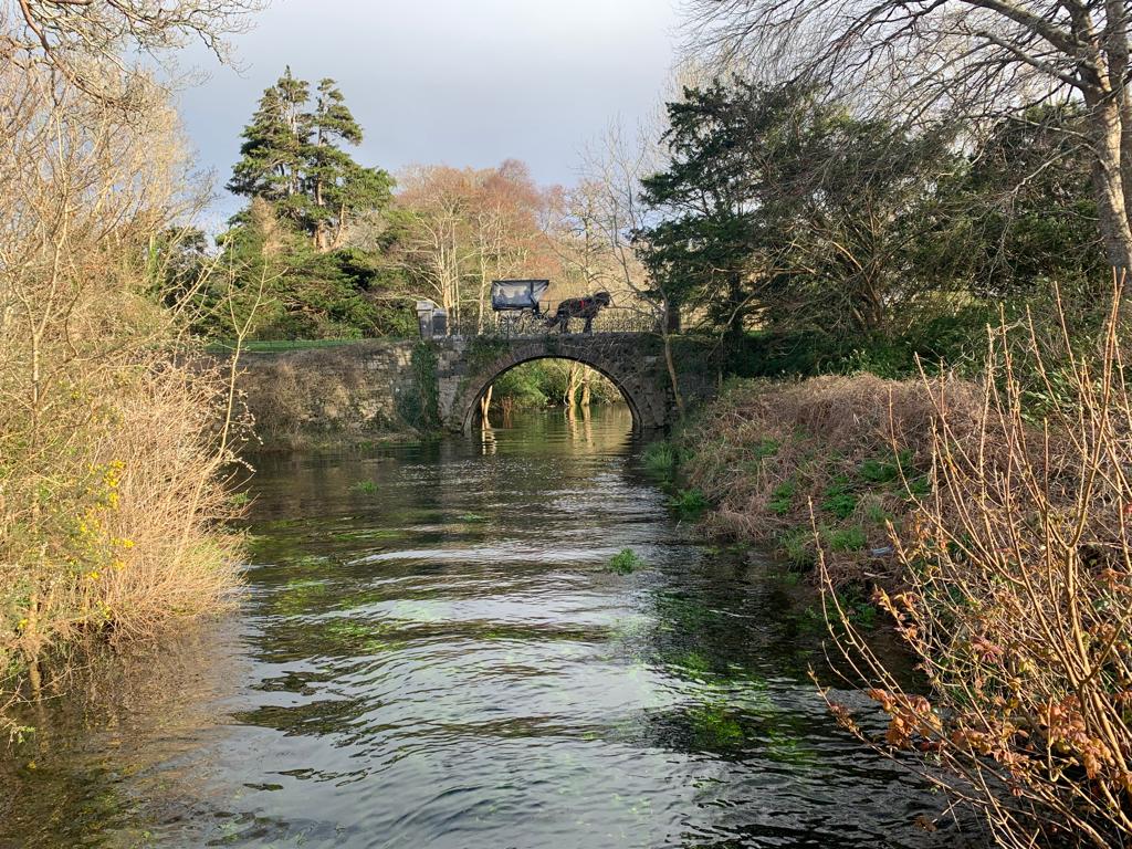
Portmagee
Portmagee is a fishing village only a narrow strip of water separates it from Valentia Island. Village life revolves around the busy pier where fishermen, surrounded by seagulls, mend and sort their nets, fish boxes and lobster pots with flatfish, monk, hake, shrimp, lobster and crabs. Portmagee is a major departure point for trips to the Skelligs.
Boats which land on Skellig Michael leave early in the morning allowing visitors to spend over two hours on the rock.
Pre booking is advised. Alternatively, boats which cruise around both rocks (but do not land) operate throughout the day.
All trips are dependent on favourable weather conditions.
Portmagee is a vibrant village with restaurants, pubs, cafés, accommodation, grocery store and post office.
Distance: 21km
(picture below)
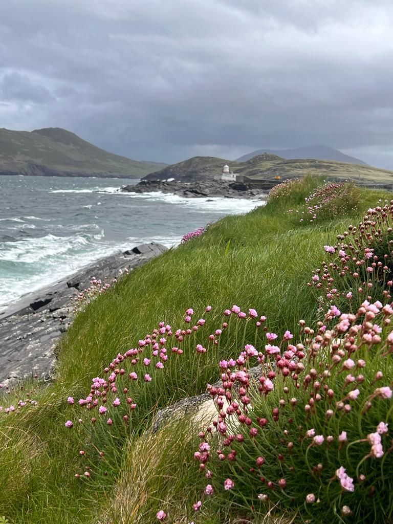
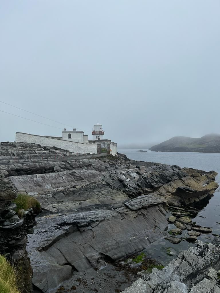
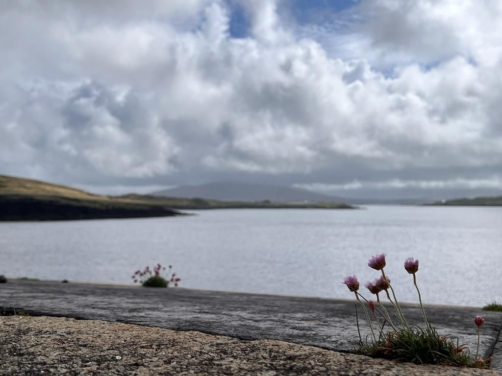
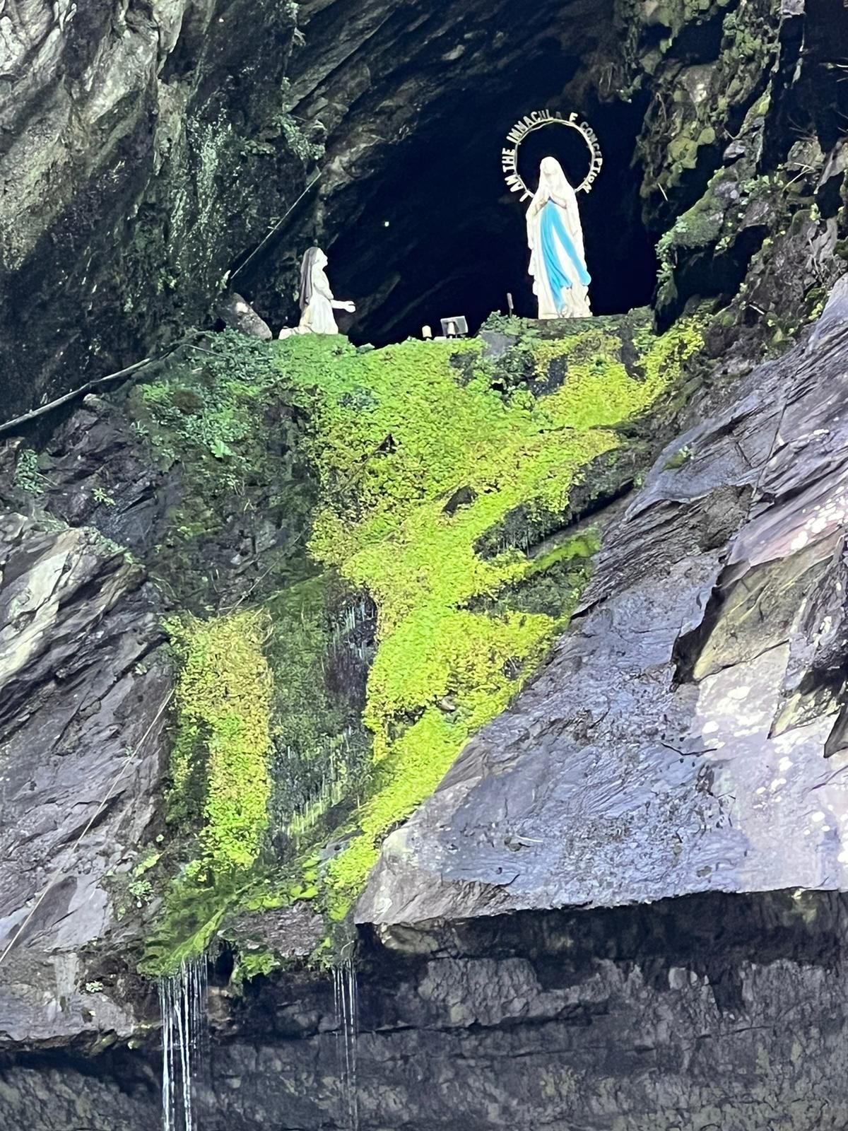
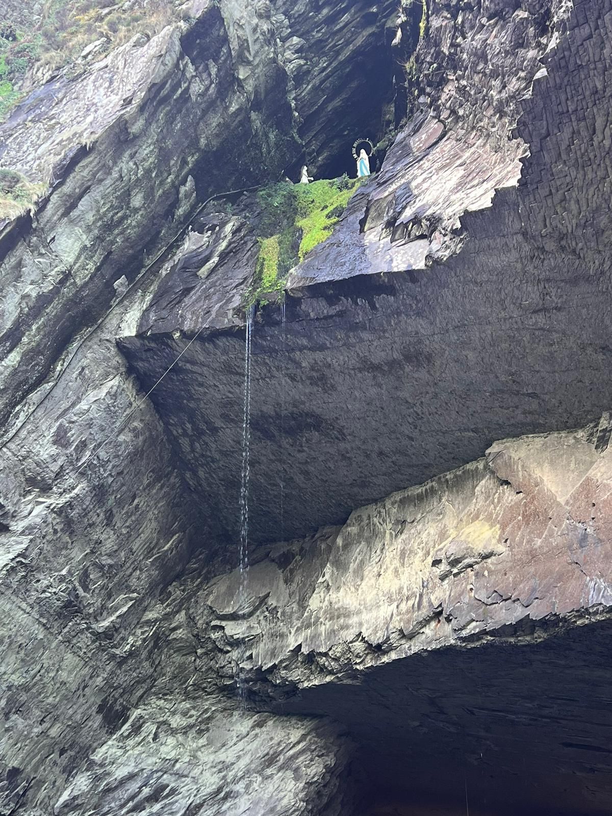
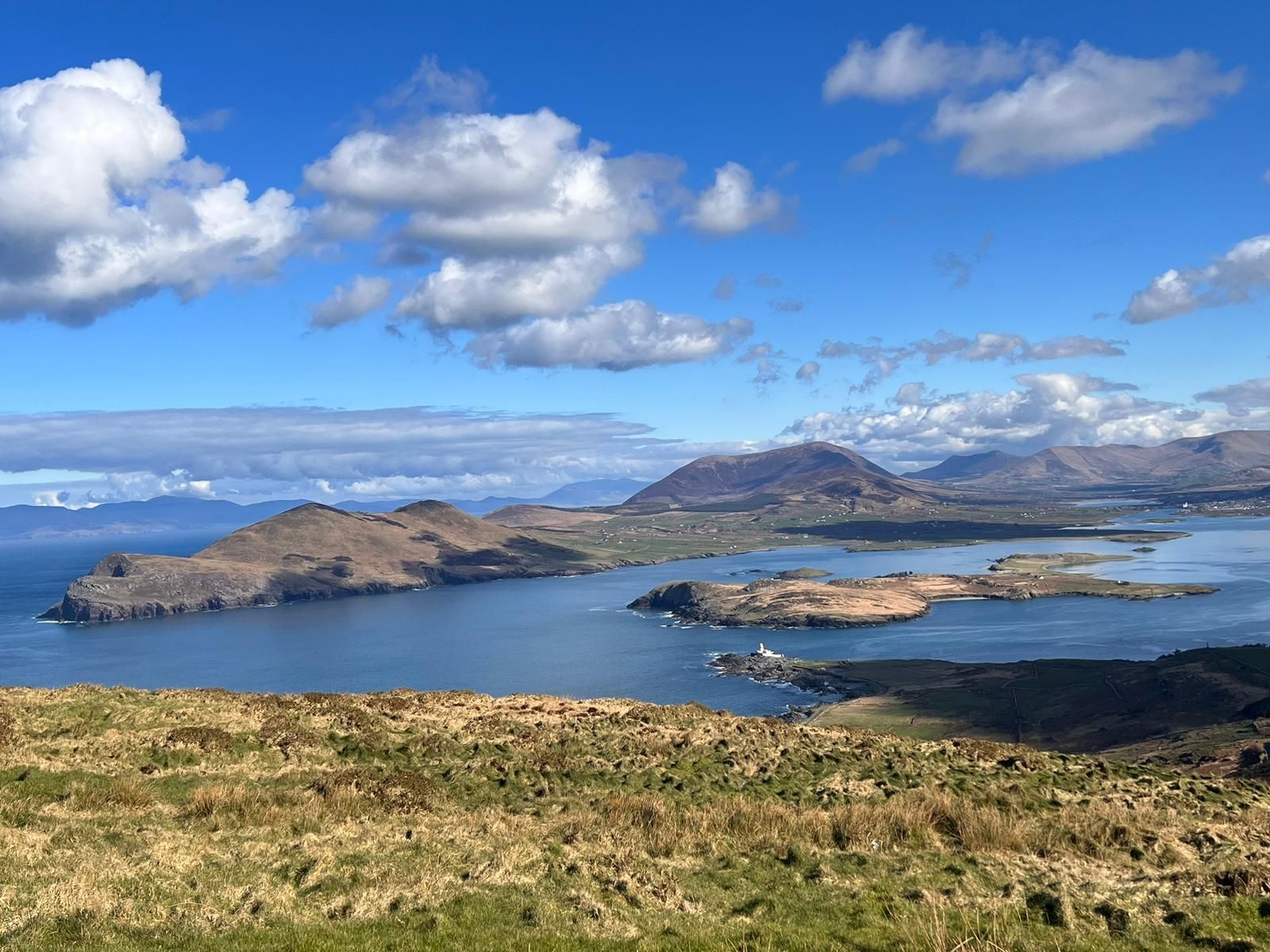
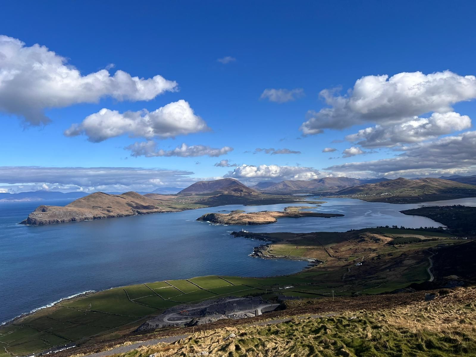
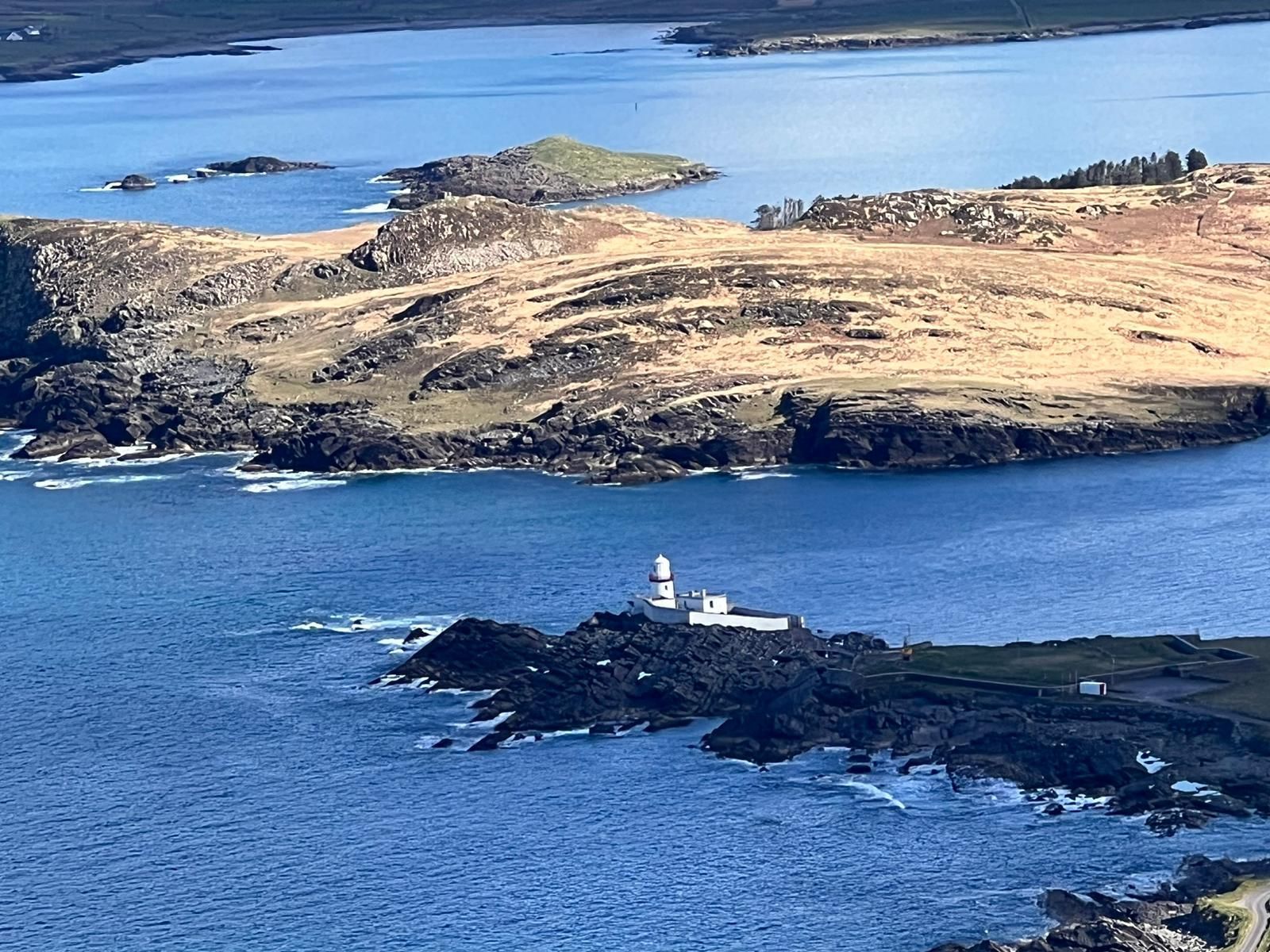
Valentia Island
It is a beautiful island approx. 10 km x 4 km. it is also renowned for the many Irish record fish caught in its surrounding waters.
Features of the island are tropical vegetation, panoramic vistas, a slate quarry, a huge natural Grotto, a Knights' Memorial and the Lighthouse.
Distance: 10km then with ferry
or 21km around to the Bridge
(picture below)

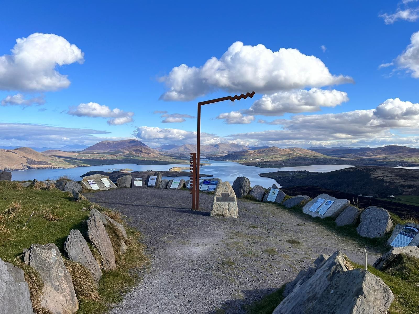
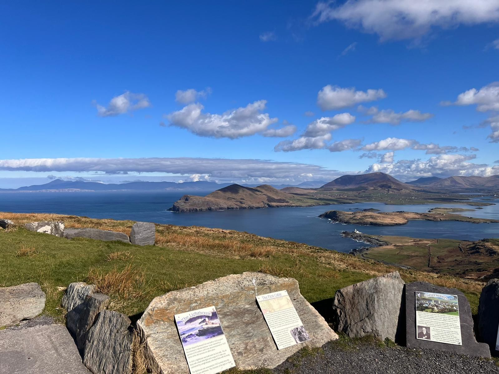
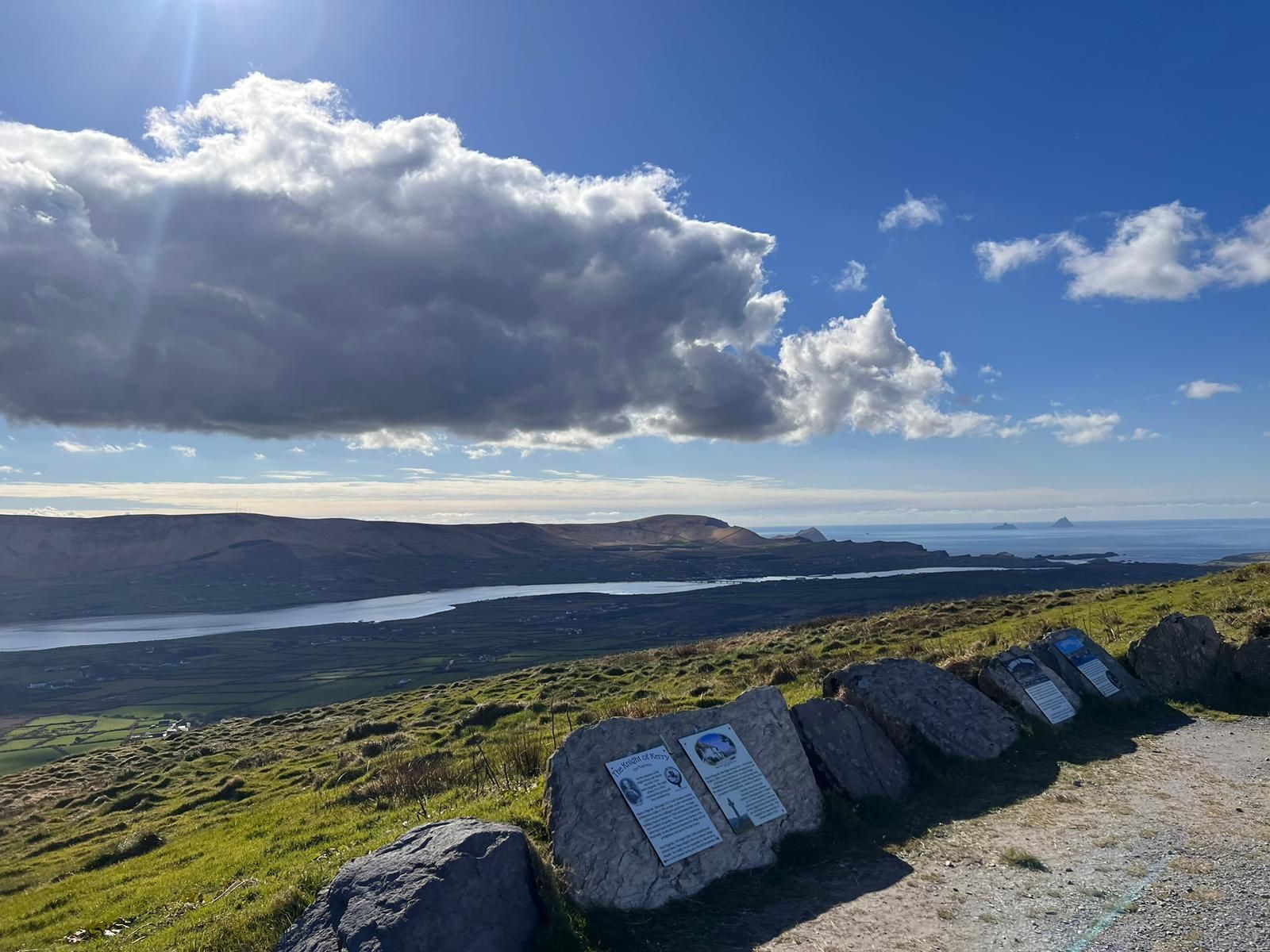
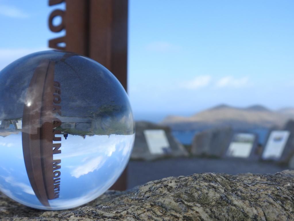
Geokaun Mountain&Cliffs
- Drive to the top
- Panoramic views
- Breathtaking cliffs
- Information panels
- Loop walk
- Valentia's highest point
- Picnic areas
Distance: 13km


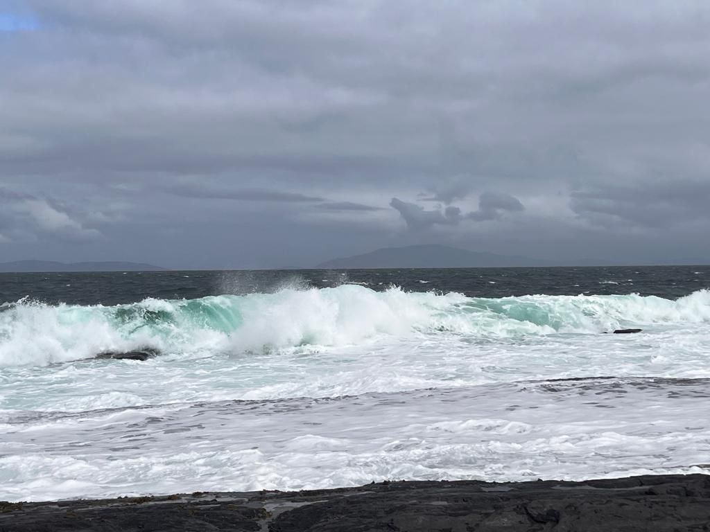
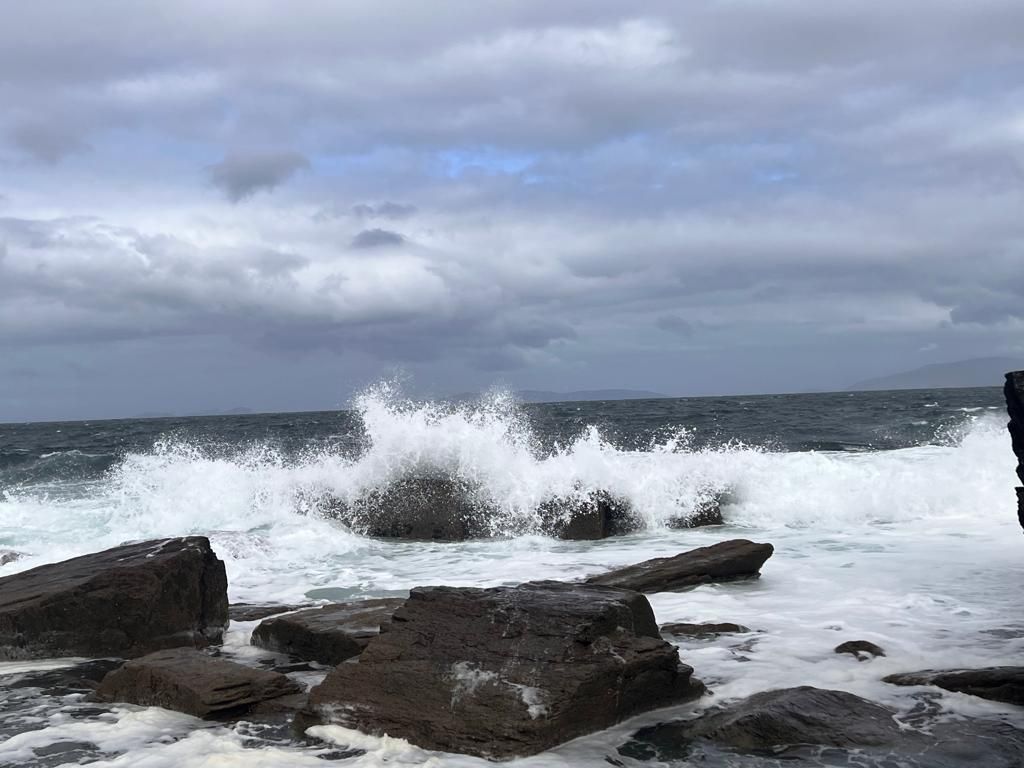
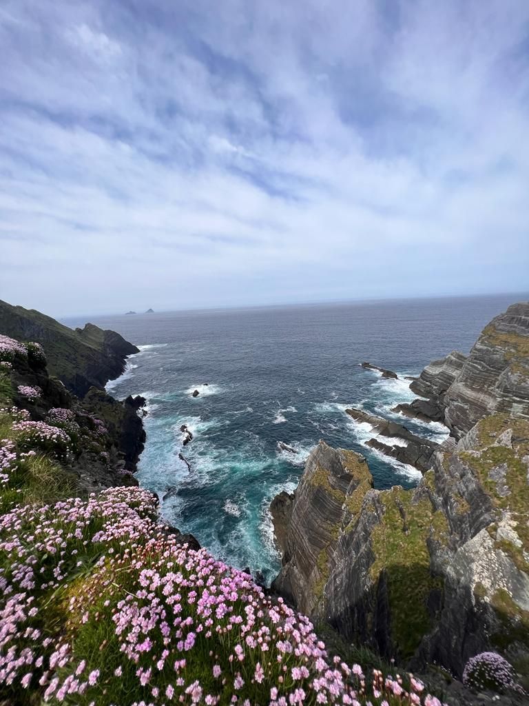
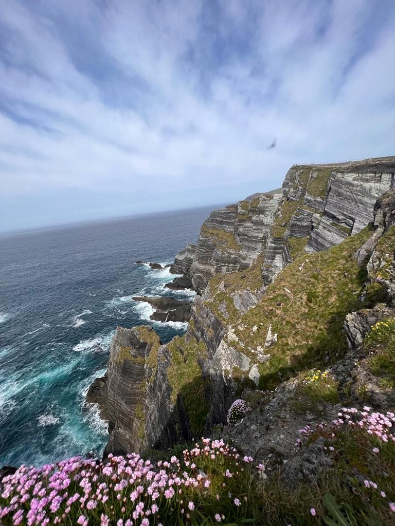
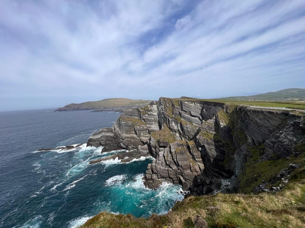
Kerry Cliffs
The Cliffs are over 300m / 1,000 ft high.
Expect raw, wild, magnificent scenery, with the jagged outline of Skellig Michael on the horizon rarely far from view.
Distance: 23km
(Pictures below)
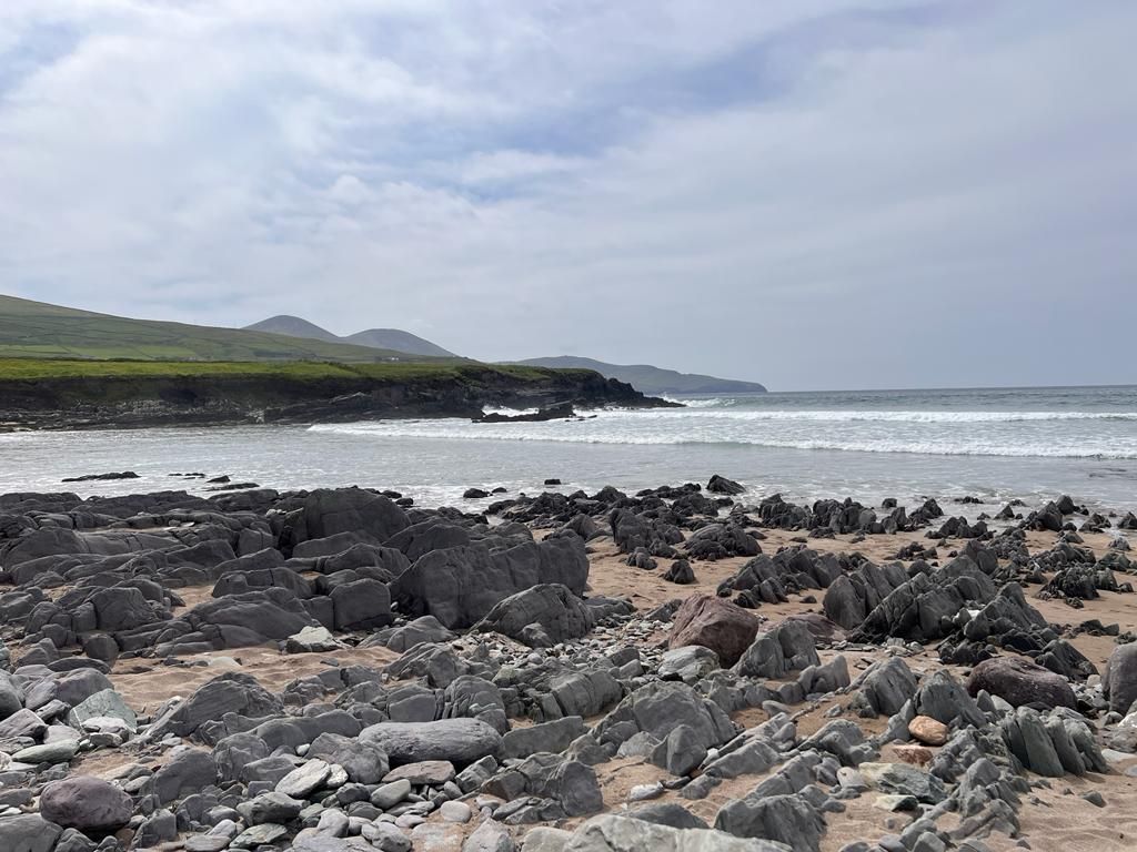
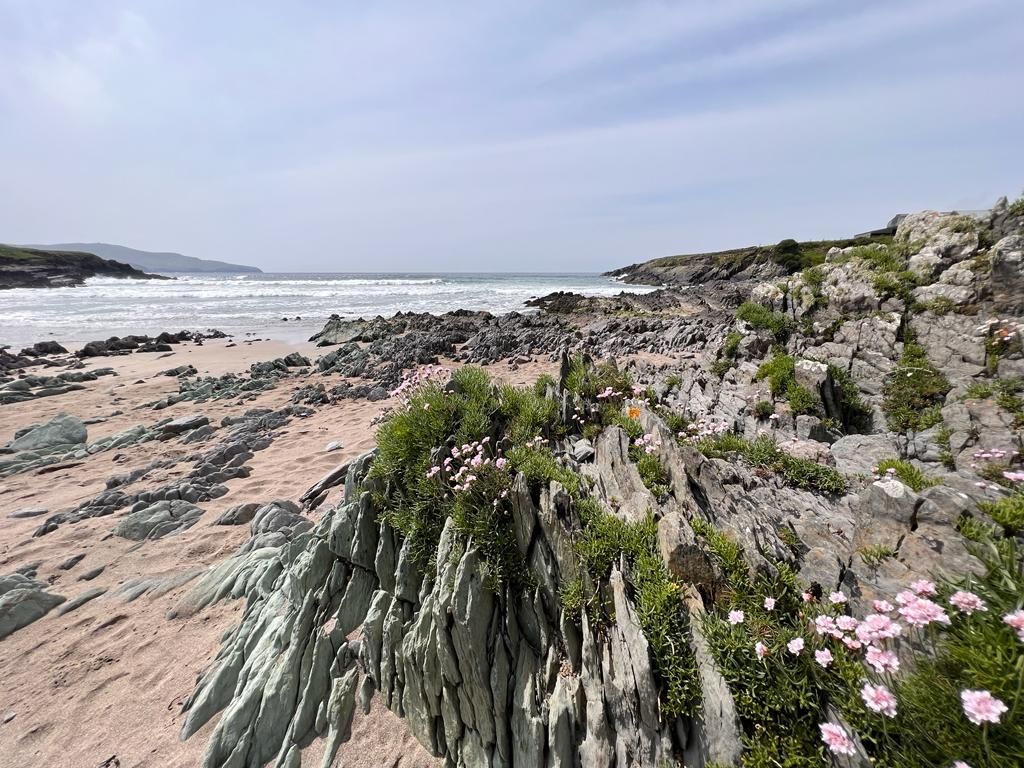
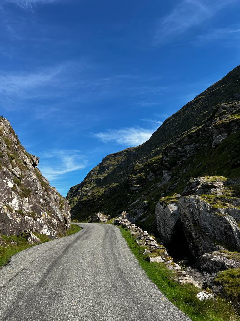
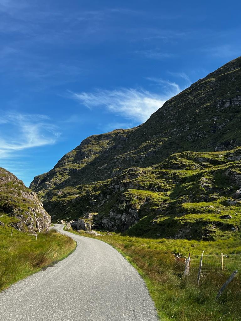
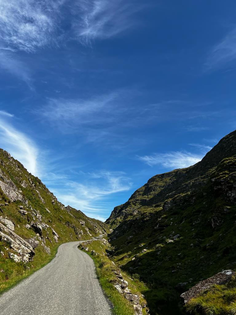
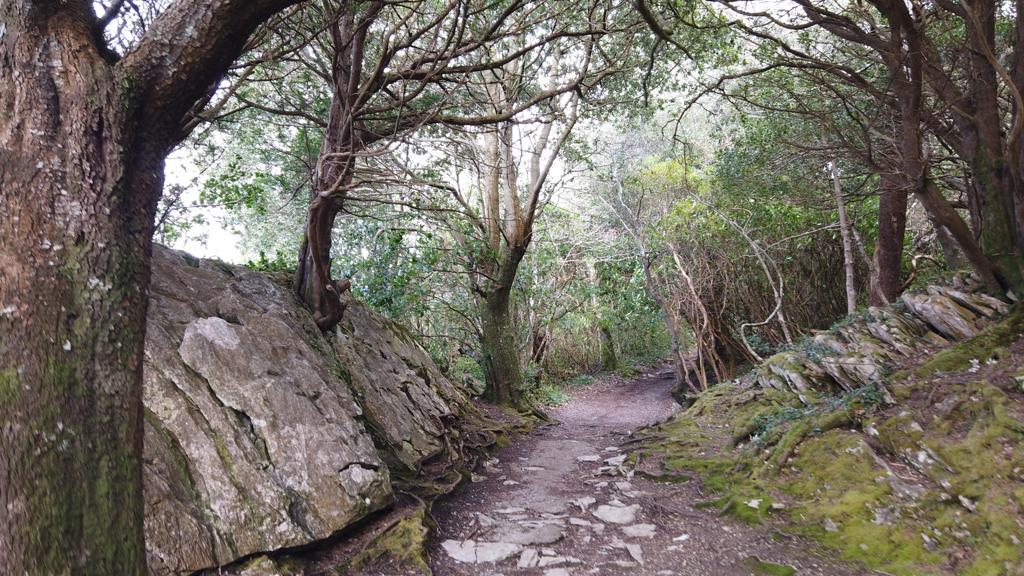
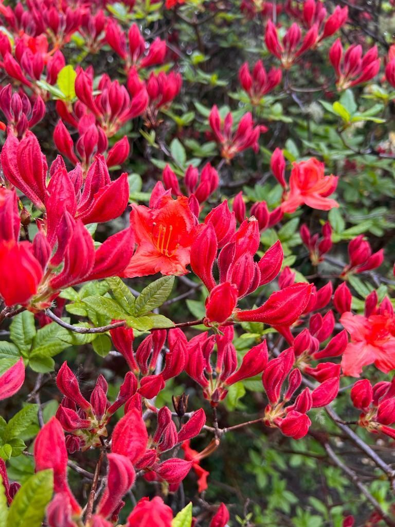
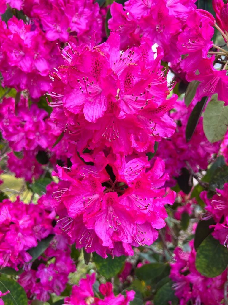
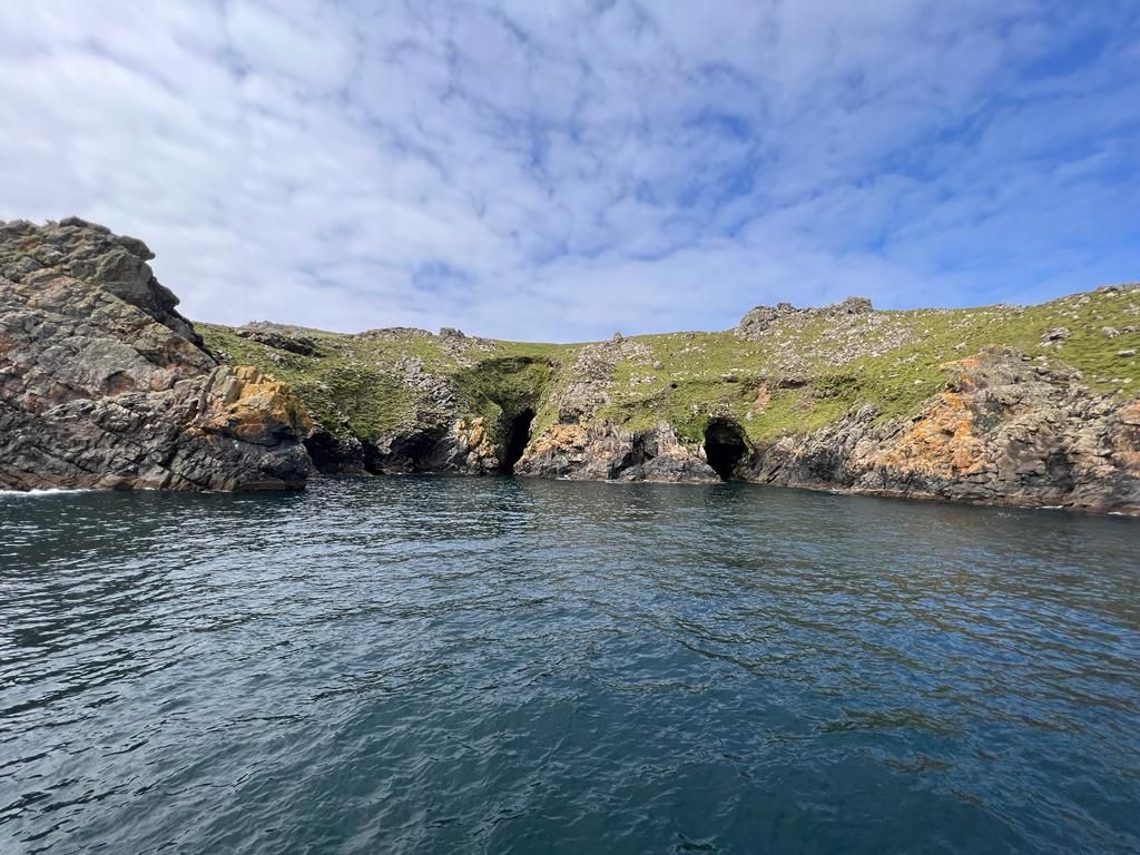
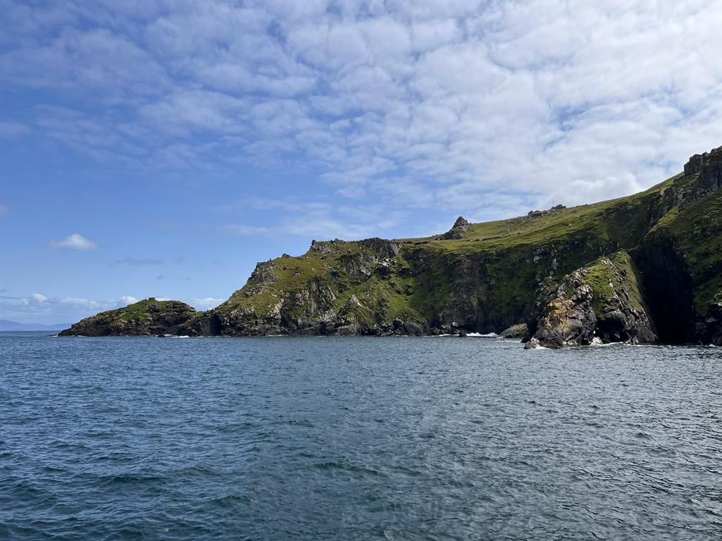
Skellig ring drive
The Ring of Skellig stretches for around 18km and it takes roughly 1.5 hours to drive and 3.5 hours to cycle.
However, you could need twice that, for stopping and exploring.
The Ring of Skellig links the towns of Waterville, Ballinskelligs, Portmagee and Valentia Island and takes in countless hidden gems.
(some pictures below)


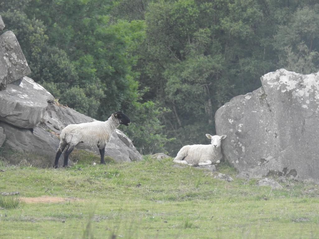
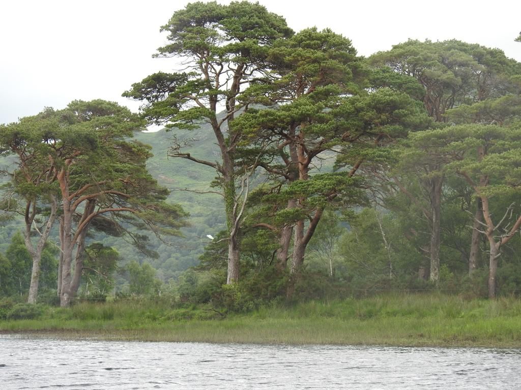
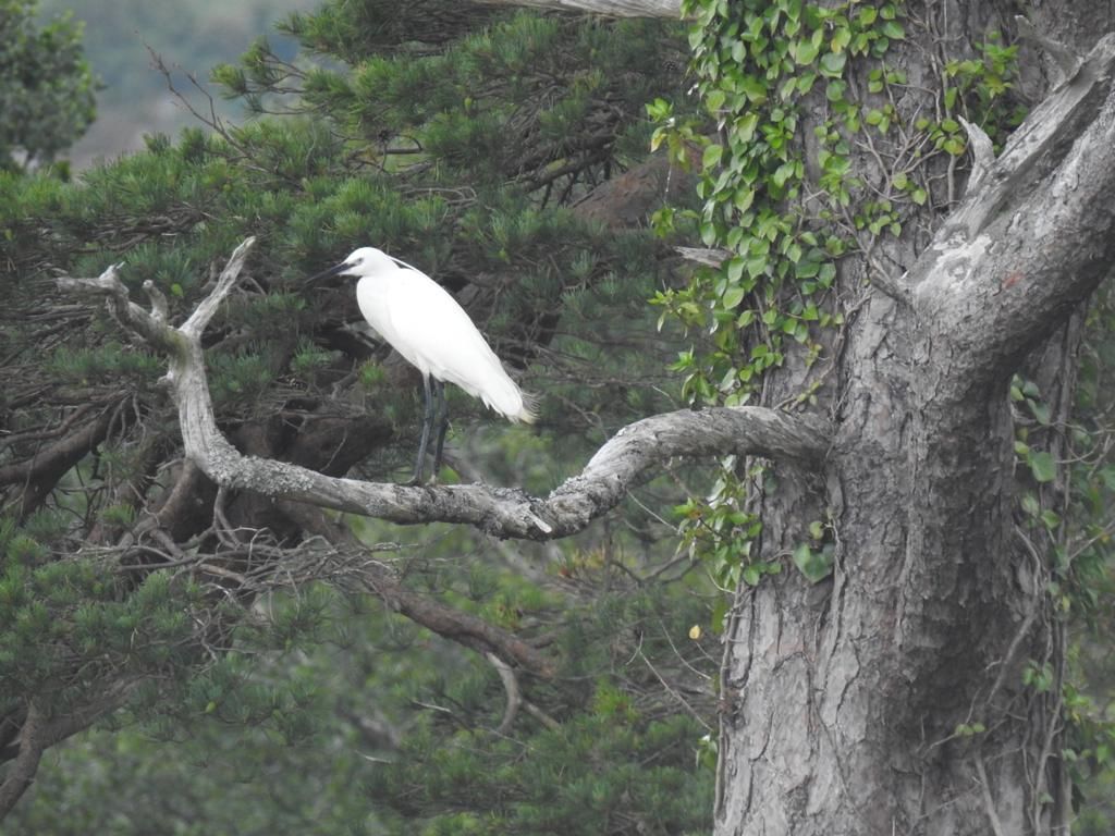
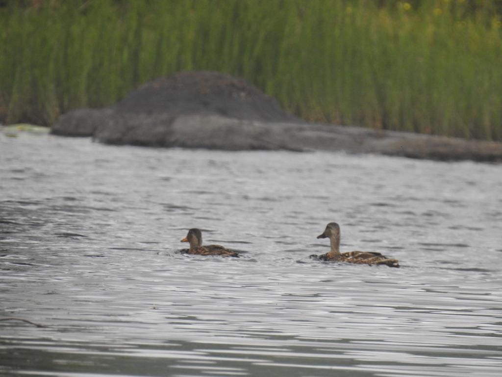
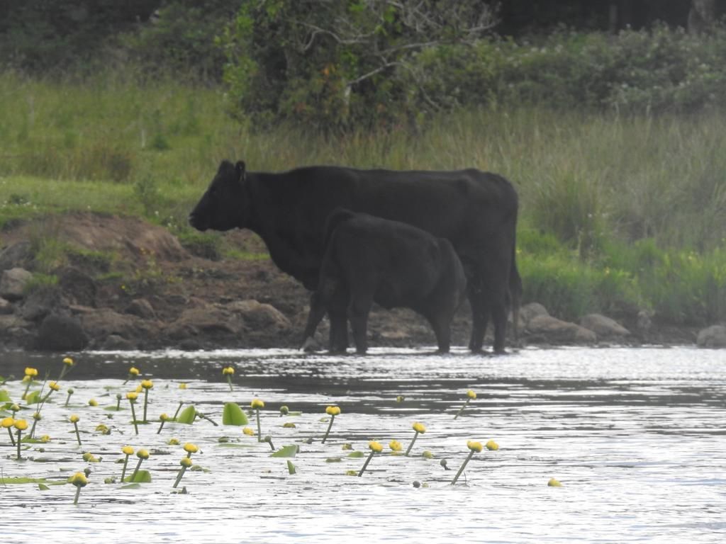
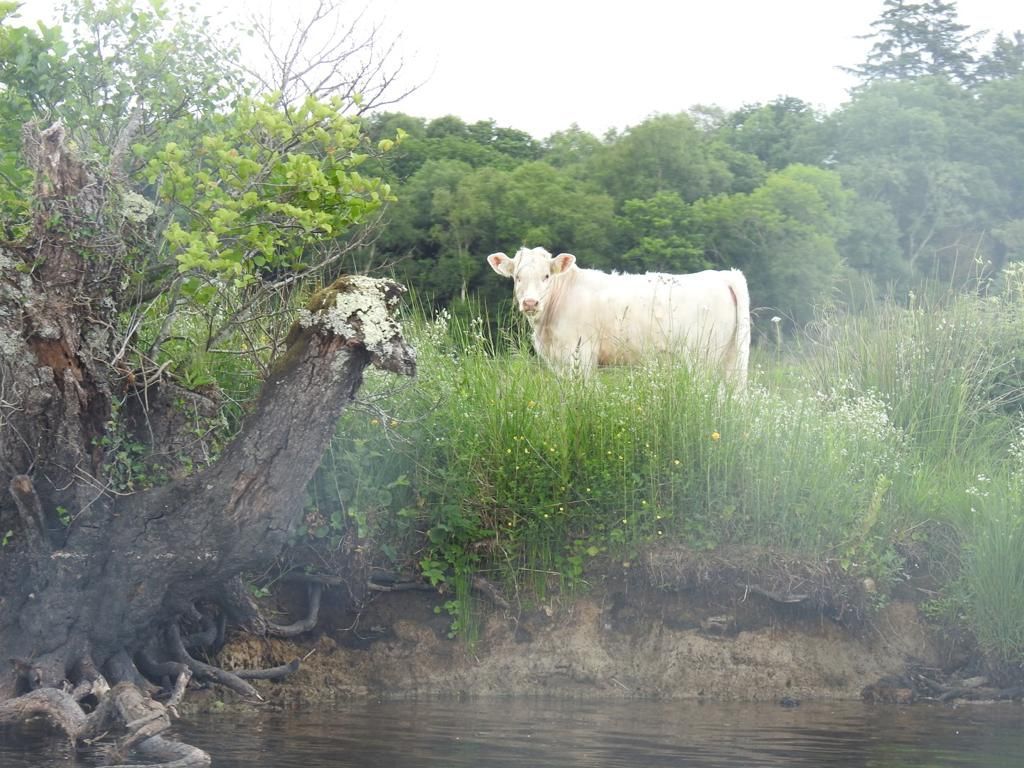
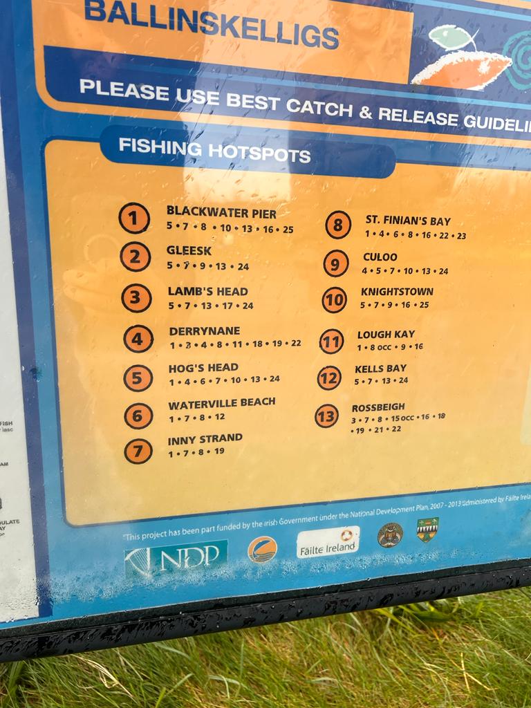
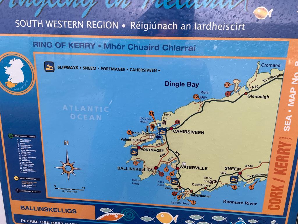
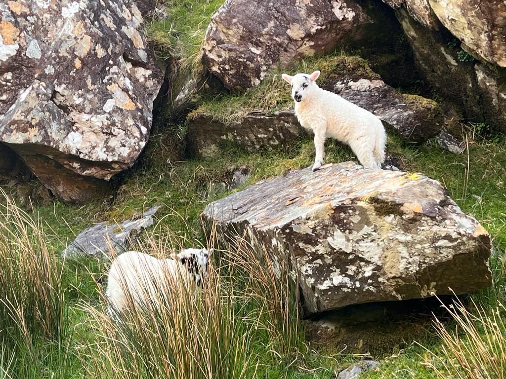
Fishing in Ireland
(pictures below)


Waterville
The town’s name in Irish is Coireán, which means “little cauldron” or “little whirlpool”.
Charlie Chaplin visited Waterville with his family in 1959. For over ten years, the family continued to return to the town for their holiday.
Waterville is home to two very well-known statues. The first and perhaps best known of the two celebrates Charlie Chaplin, the legendary comic.
The second statue in Waterville celebrates Mick O’Dwyer, the man widely considered to be the greatest manager in the history of Gaelic Football.
Distance: 21km
(picture below)
The Skellig Six18 Destillery
The Skellig Six18 Distillery & Visitor Experience is located in Cahersiveen, in the town. They specialise in craft gin and Whiskey using local botanicals.
Distance: 5km
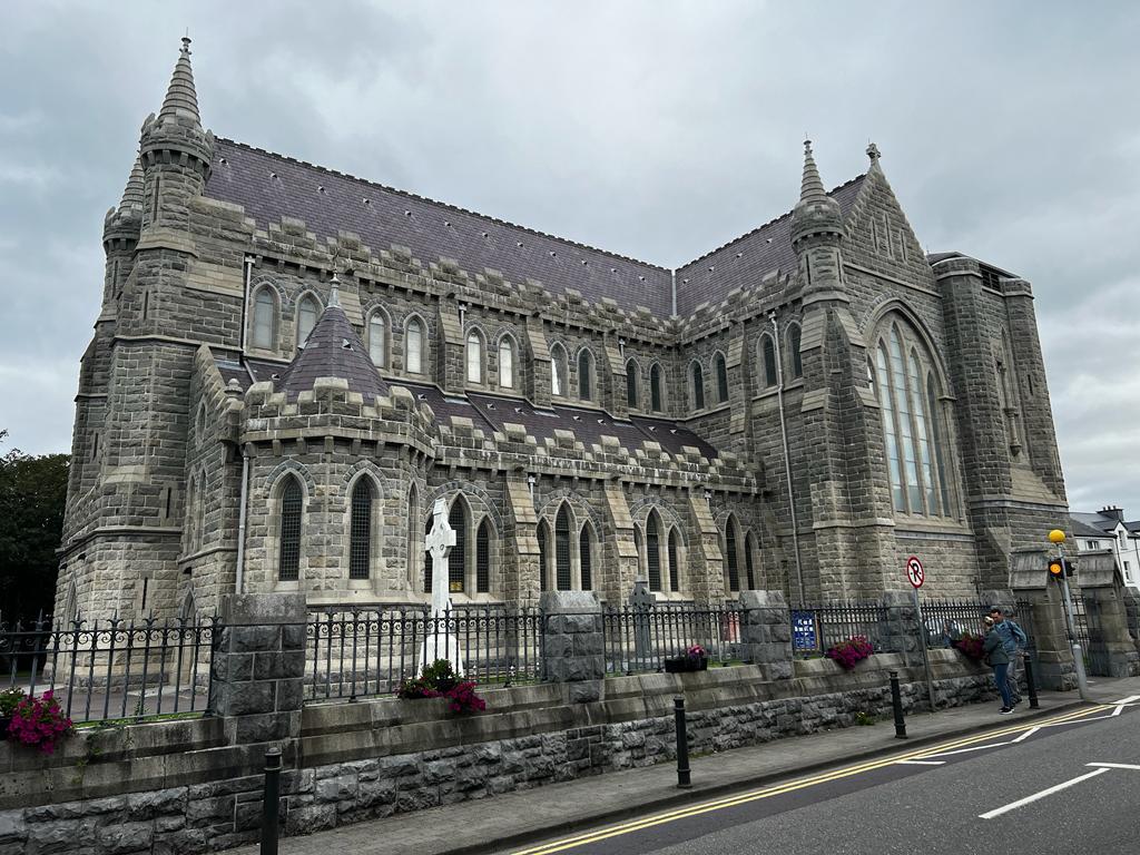
O'Connell Memorial Church
The O'Connell Memorial Church in Cahersiveen is the only Roman Catholic church in Ireland dedicated to a layman.
Daniel O'Connell (1775-1847) was born at Carhan, just east of the town where a bronze sculpture of him is erected there. He was known as The Liberator because of his successful efforts in gaining full religious freedom for Catholics. O'Connell took his seat in the Westminster Parliament in 1829 and campaigned vigorously for
Irish independence.
Distance: 4km
(picture below)
The old barracks
The building was constructed between the years of 1870 and 1875 as a police station for the Royal Irish Constabulary.
Distance: 4km
Ballycarbery Castle
the present ruins were constructed in the 16th century.
1652 it was attacked by cannon fire from Parliament forces during the War of the Three Kingdoms.
Distance: 7km
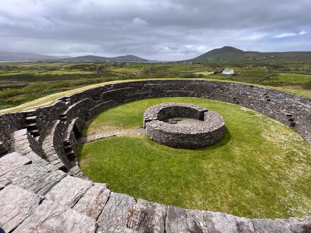
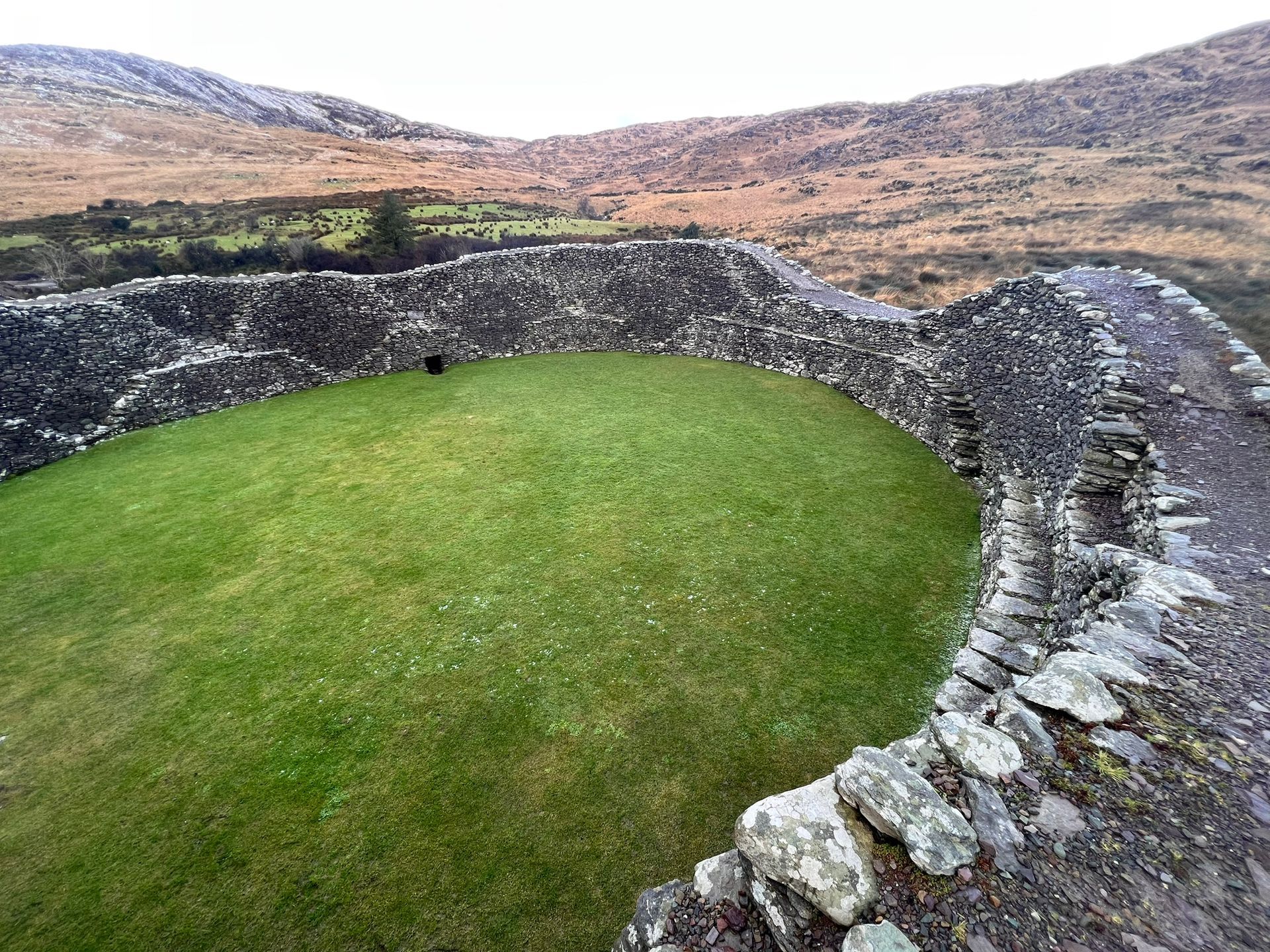
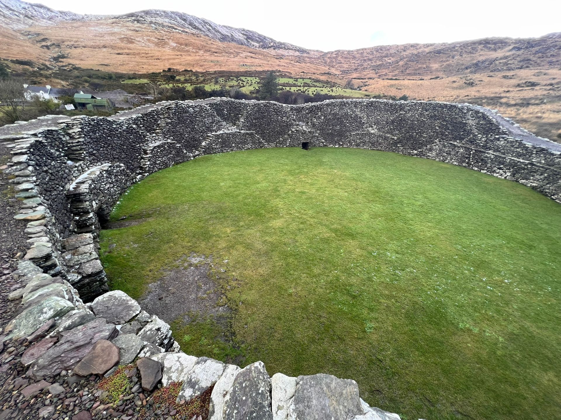
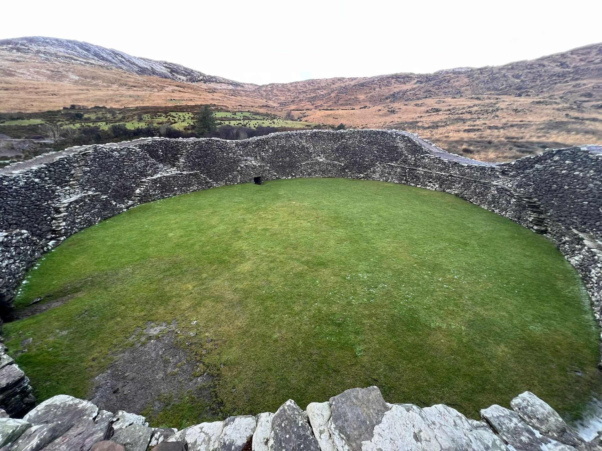
Cahergal Stone Fort
stone fort of Cahergal built around 7th century AD
Distance: 7km
(picture below)
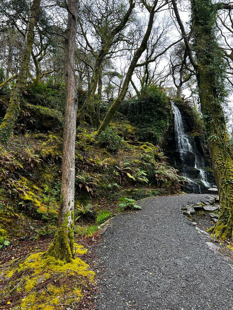
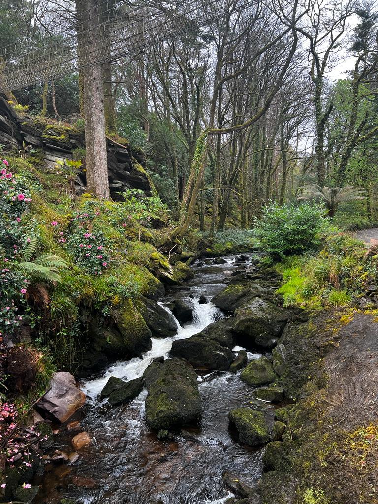
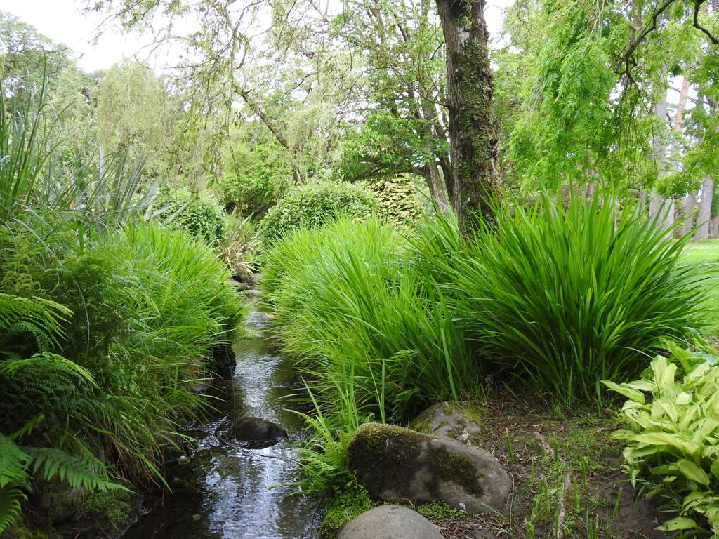
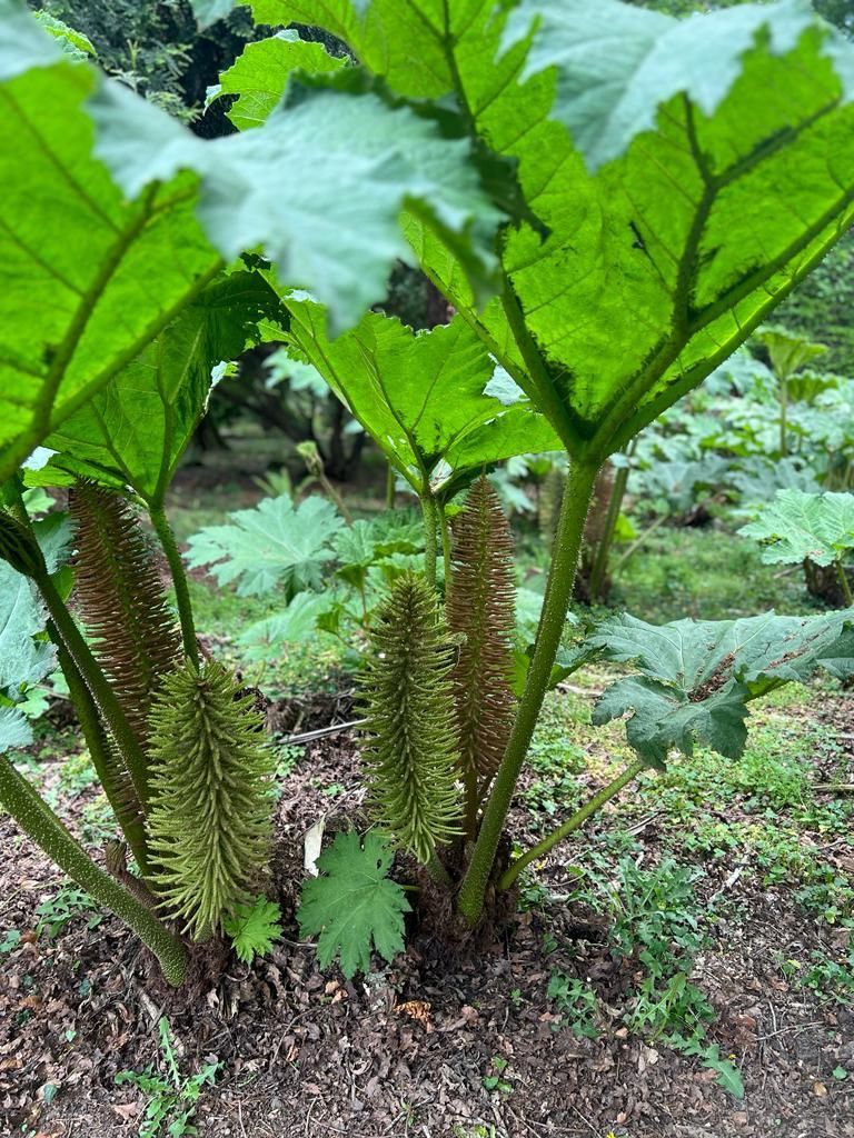
Kells Bay House&Gardens
Duration of Visit: The SkyWalk rope-bridge crossing will take just ½ an hour. The plant and Dinosaur highlights are seen comfortably in 1 hour. However for visitors of every age, the magic of these gardens occurs when you linger in the glades, meander along the river, and wander through the trees.
Distance: 15km
(pictures below)
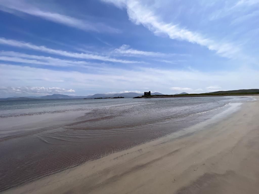
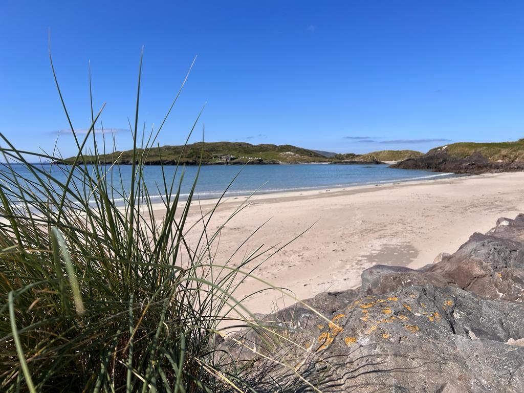
Rossbeigh Beach
Has 8 km of golden sand and rolling white-topped breakers. It also has a vast area of sandhills and the panorama of ocean and mountains is stunning!
Distance: 27km
Killorglin
Killorglin is a hilltop town. The town is long famous for its Puck Fair each August when a wild mountain goat is raised on a throne while an ecstatic multitude revels for three days and three nights.
Distance: 42km
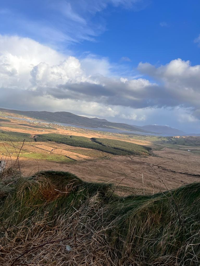
Ballaghisheen Pass
Distance to top: 25km
Ballaghbeama Pass
Distance to top: 39km
(pictures below)
Caherdaniel
The village overlooks Derrynane and its golden beaches. Daniel O'Connell the Liberator had close associations with this village when he lived in Derrynane House just a couple of miles away by the sea.
Distance: 35km
Staigue Fort
It’s reached by a country road just west of Castlecove with overlooking Kenmare Bay. It is a prime example of Ireland's stone ringforts and has a size of 27m in diameter and is up to 5.5m high. The fort is around 2,500 years old.
Distance: 45km
(pictures below)
Kenmare
Kenmare is a warmhearted town charmingly positioned where the River Roughty meets the sea.
Three ranges of mountains radiate from this snugly-placed little town with its immense walking potential on the surrounding hills. There are obvious attractions for the sea-angler, and fresh water game fishing is available at nearby Clone Lake and River Roughty. Local landmarks are the 108m Suspension Bridge (1932), Sheen Falls, Renagross Park, Holywell, Druid's Circle and Dunkerron Castle.
Distance: 63km
Sneem
Sneem is a scintillating village favoured by artists, climbers, walkers and cyclists. It is a two-part village, divided by a stone bridge which spans the Sneem river.
Colourful restaurants and tea-shops provide a bistro-like allure for passing tourists and, in the evenings, the pubs come alive with indigenous entertainment.
Distance: 56km
Molls Gap
Moll's Gap is the highest point on the corkscrew road between
Kenmare and Killarney. This narrow cleft in the ice-age rock, adjacent to Peakeen Mountain, commands a wide panorama overlooking the Owenreagh Valley.
The trout lakes of Barfinnihy and Looscaunagh are within a few minutes drive, one on either side of Moll's Gap.
Distance: 58 km
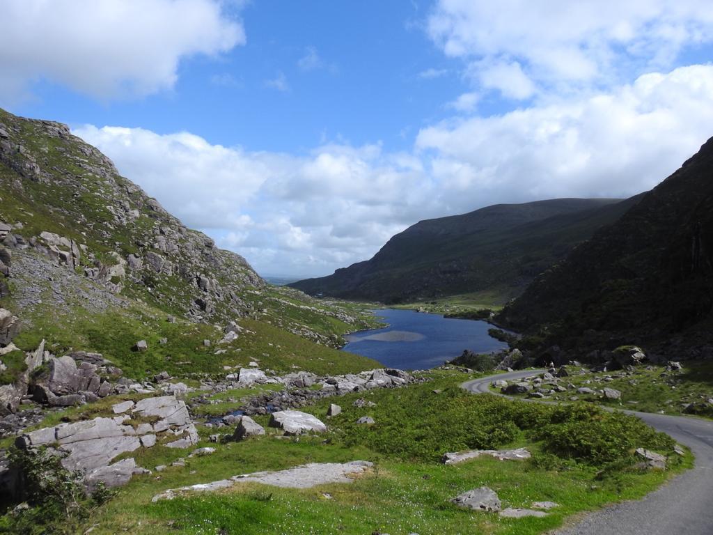
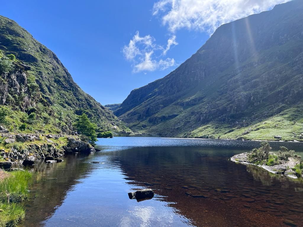
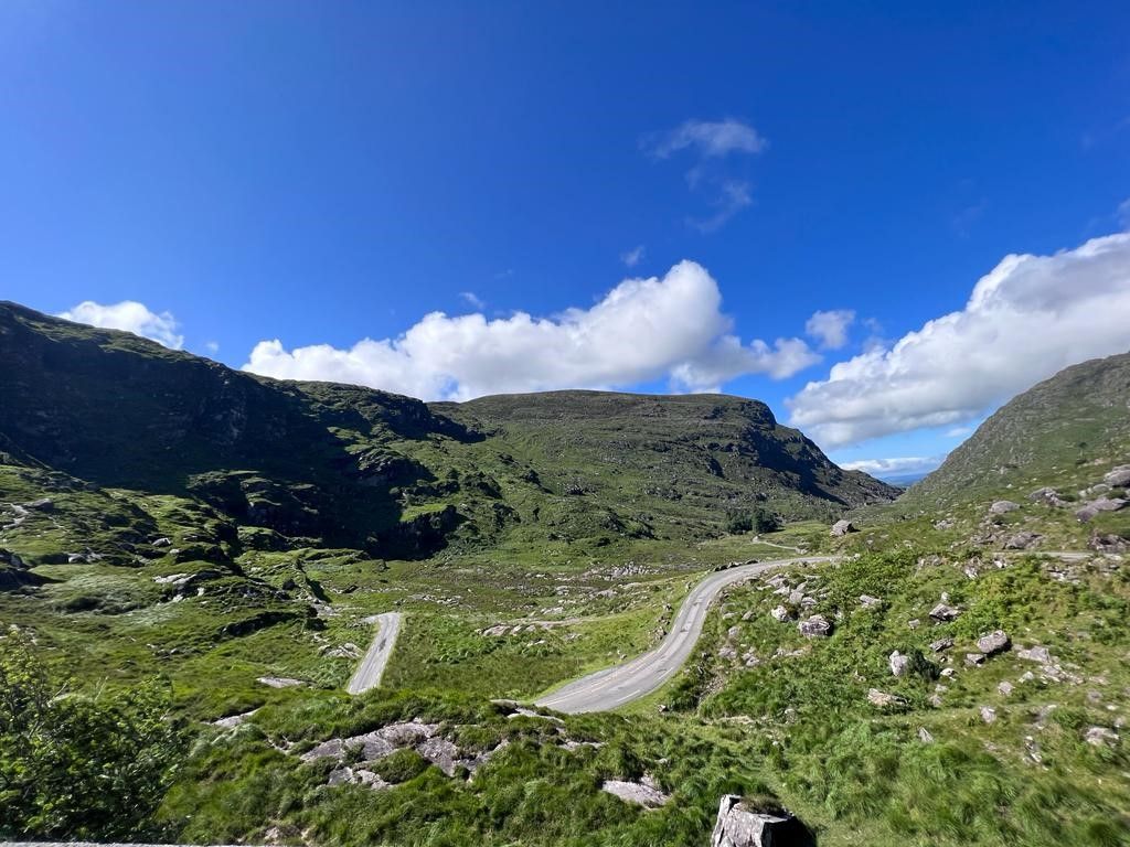
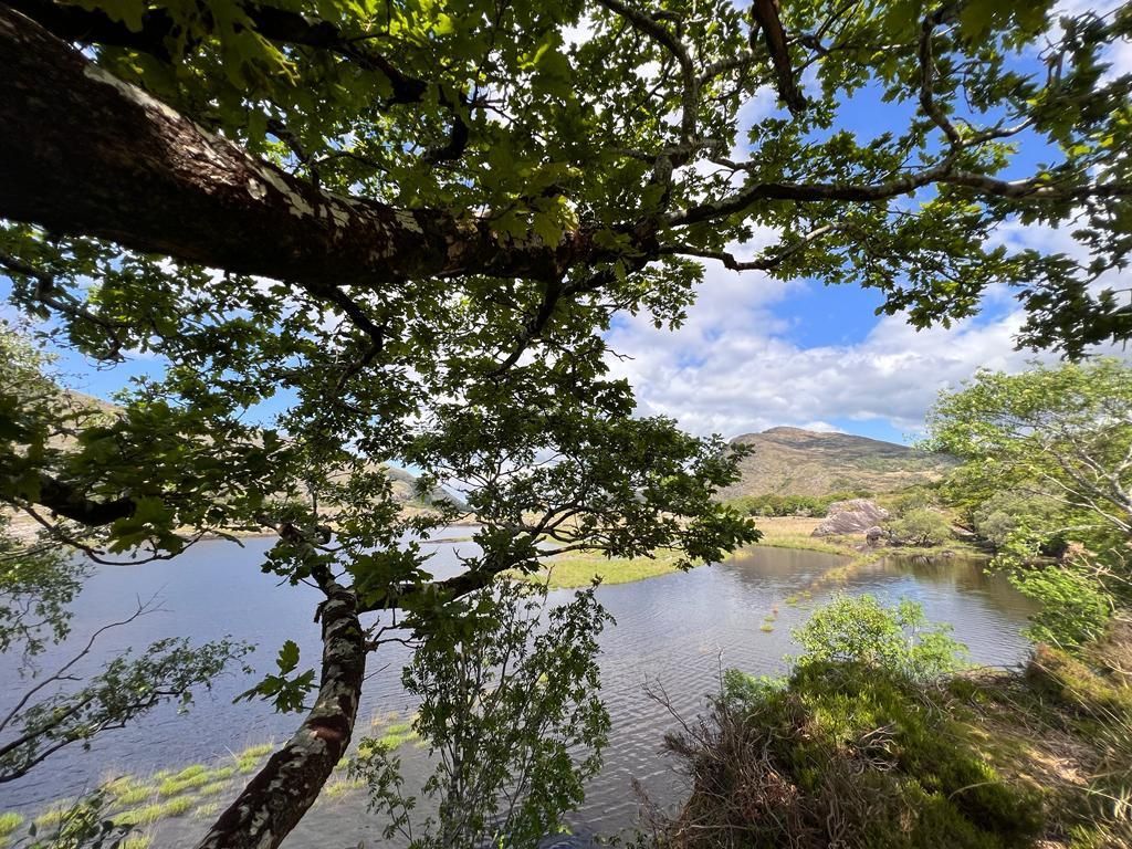
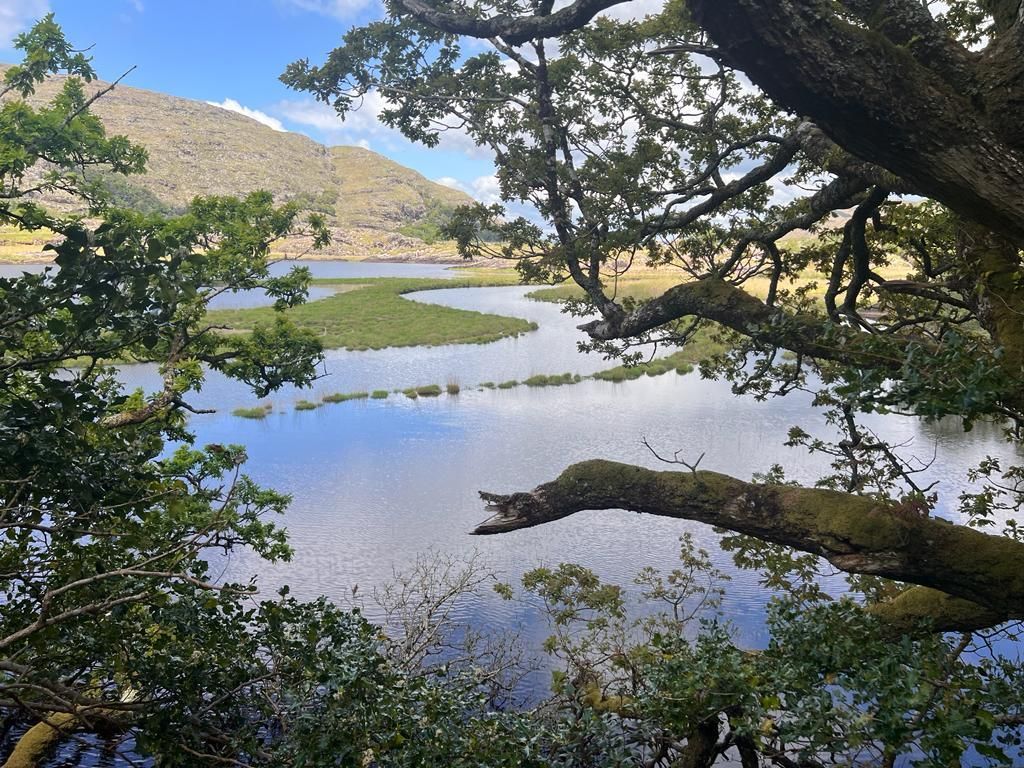
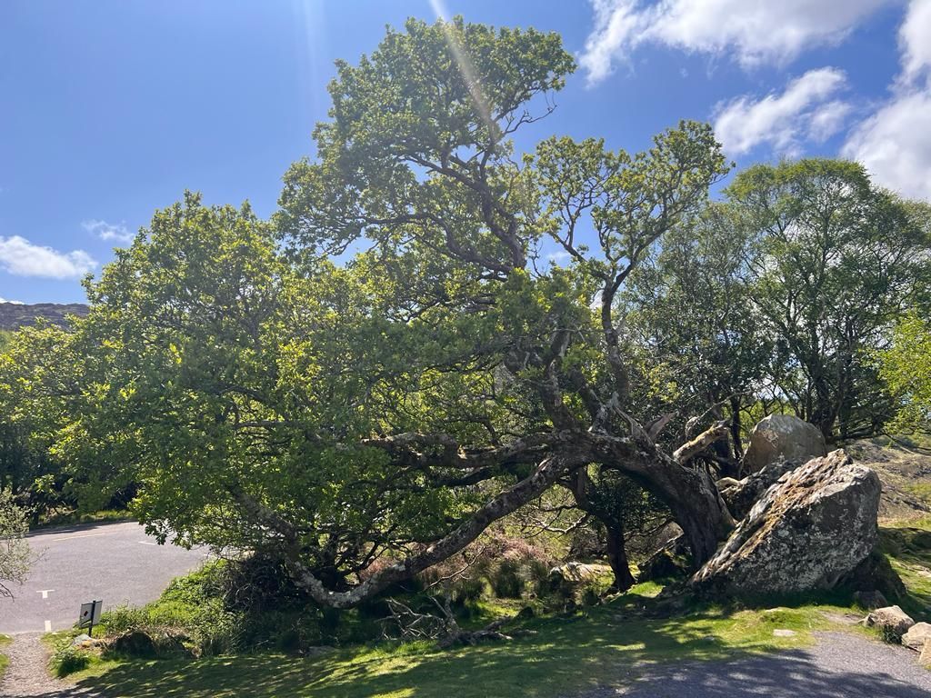
Gap of Dunloe
The Gap of Dunloe is a narrow mountain pass running north-south in County Kerry, Ireland, that separates the MacGillycuddy's Reeks mountain range in the west, from the Purple Mountain Group range in the east. It is one of Kerry's most popular tourist destinations on account of its scenery.
There are common hill walking routes. The walk from Kate Kearney's Cottage to the full Head of the Gap is 6 kilometres and takes aprrox. 1 hour.
There are as well companies which organising day trips from Ross Castle by car to the Gap, a ride on the Jaunting Car and with a boat back through the stunning Killarney National-park lakes to Ross Castle.
Distance: 54km
(pictures below)

Ross Castle
Ross Castle perches in an inlet of Lough Leane. It is likely that the Irish chieftain O’Donoghue Mór built it in the fifteenth century.
Distance: 66km
(pictures below)


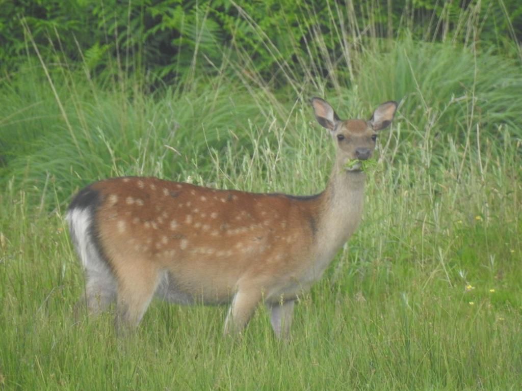
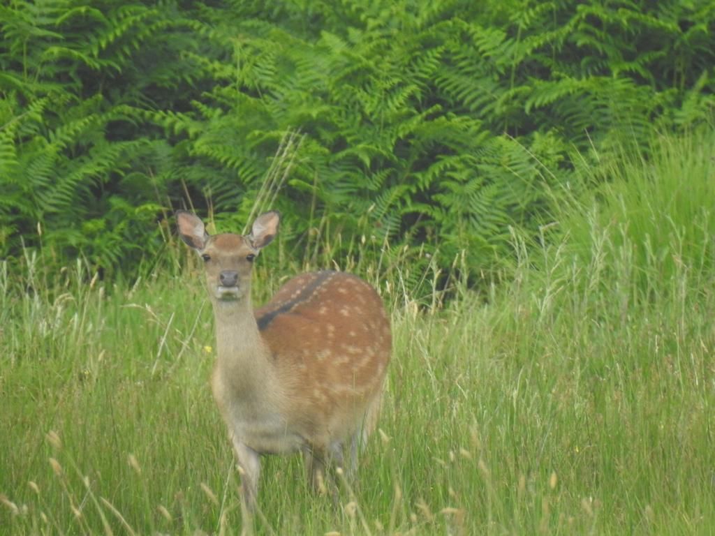
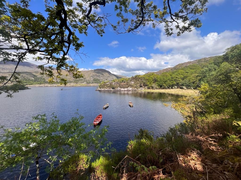
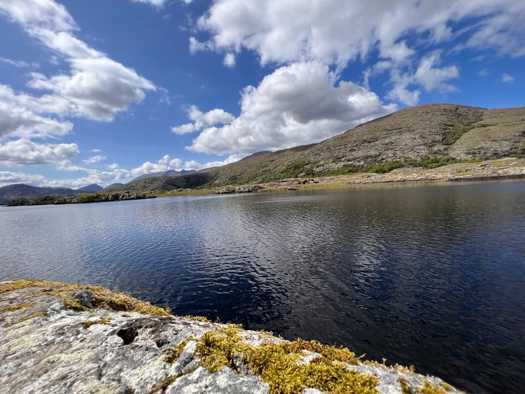
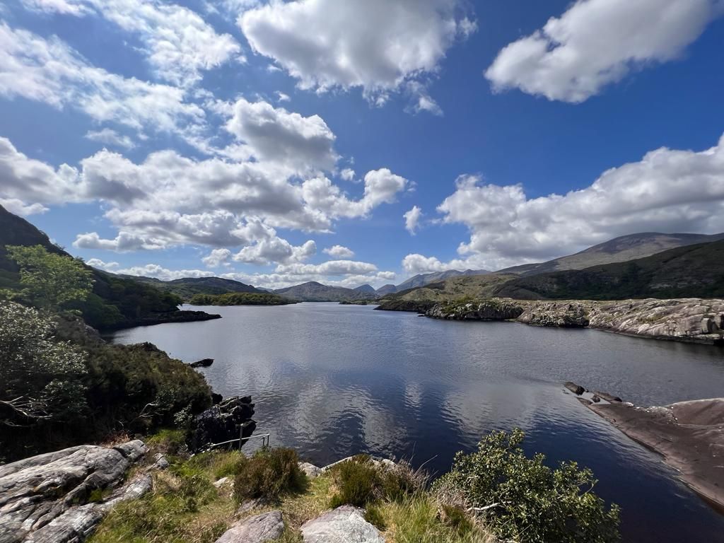
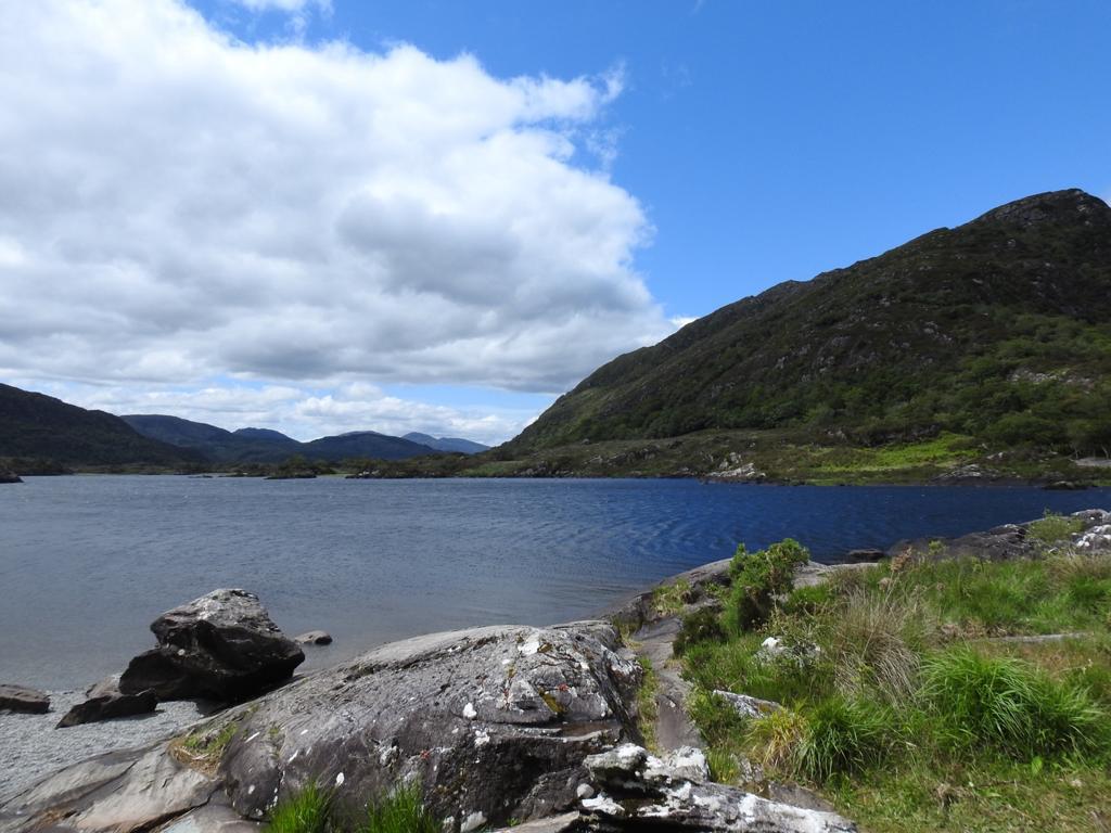
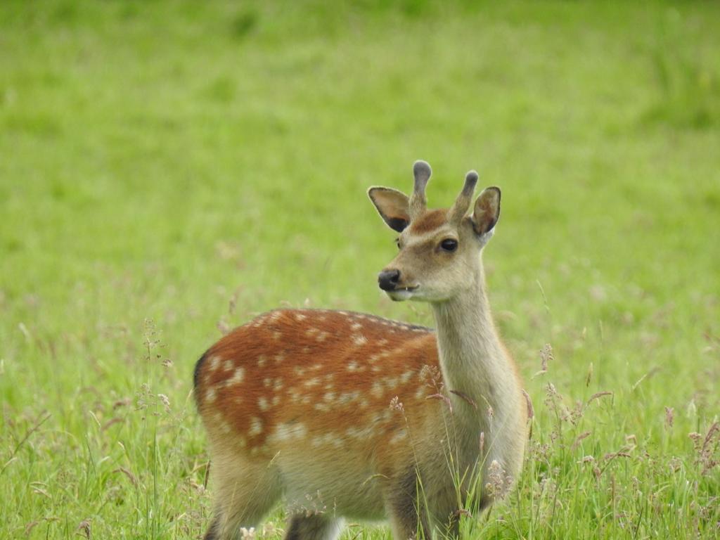
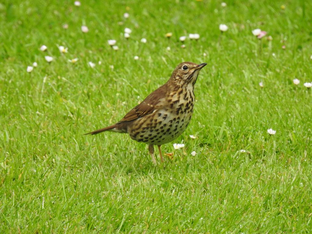
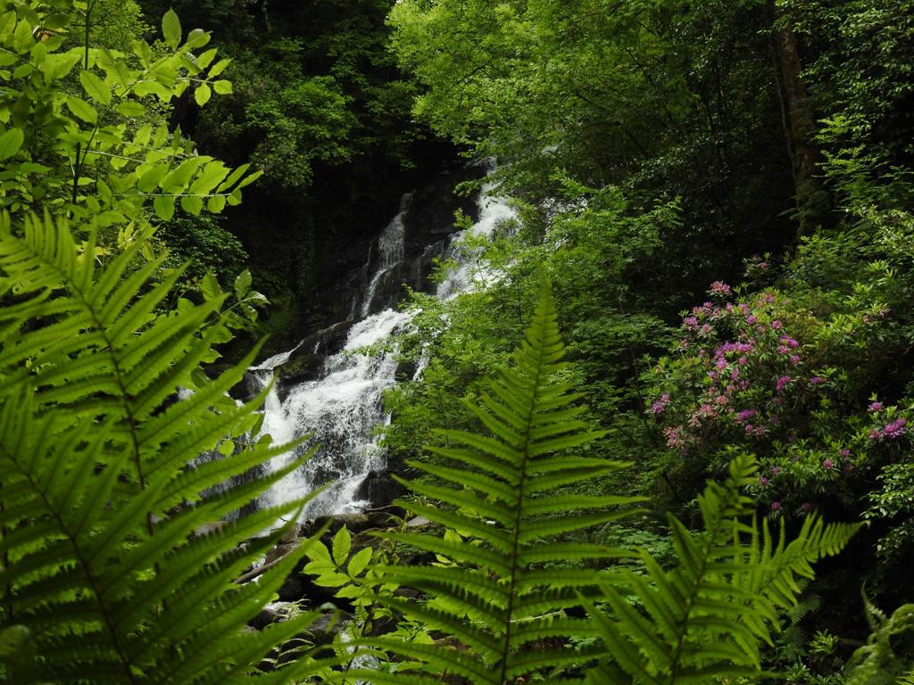
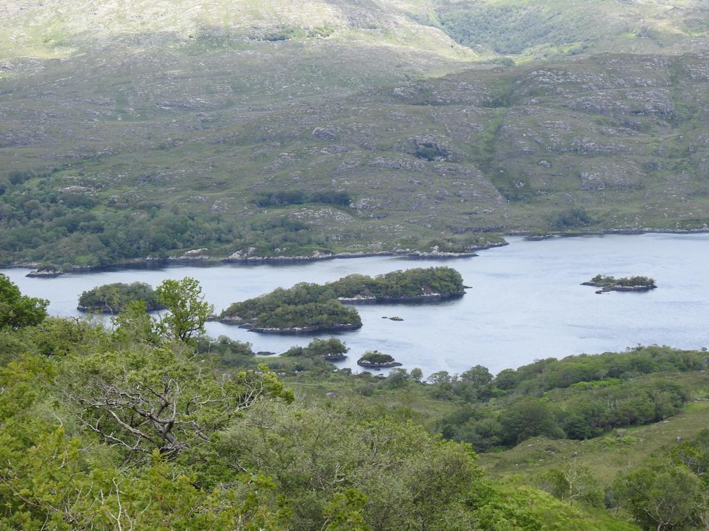
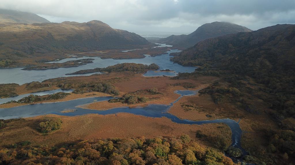
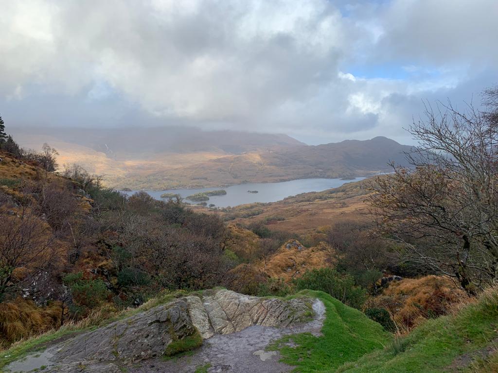
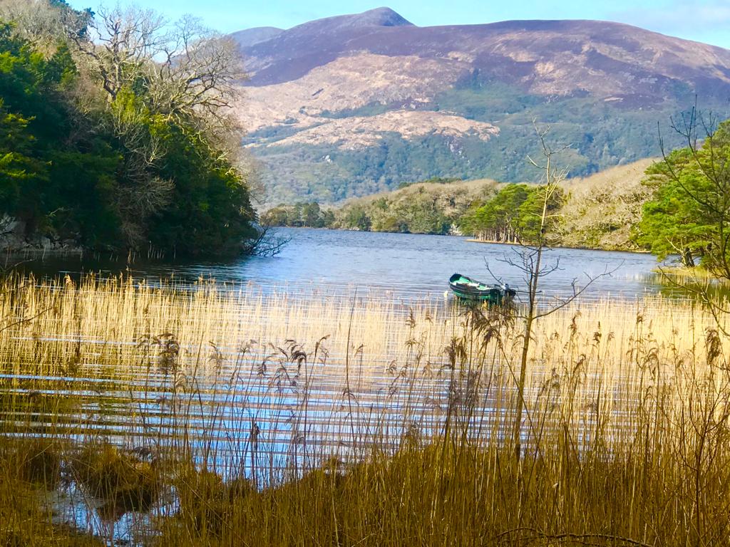
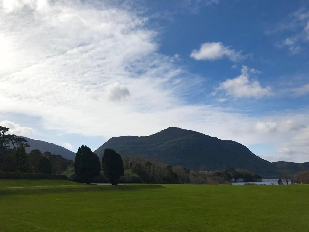
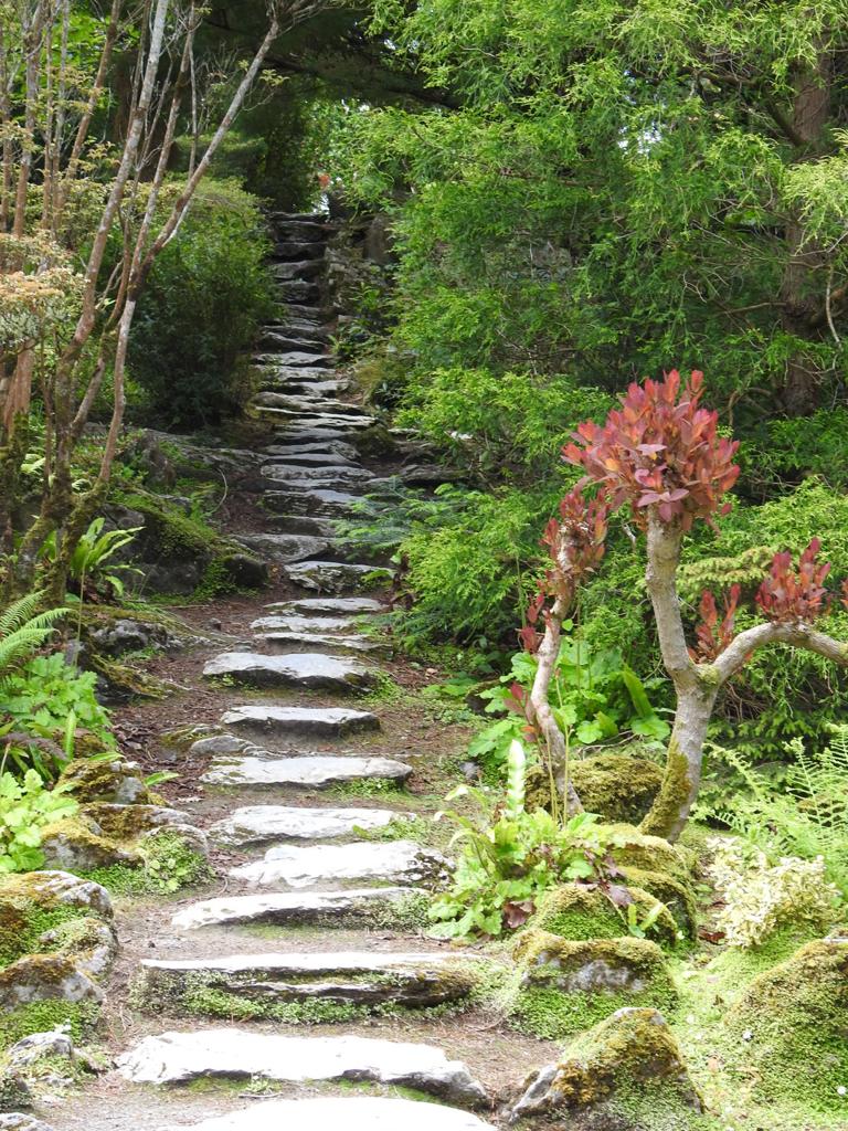
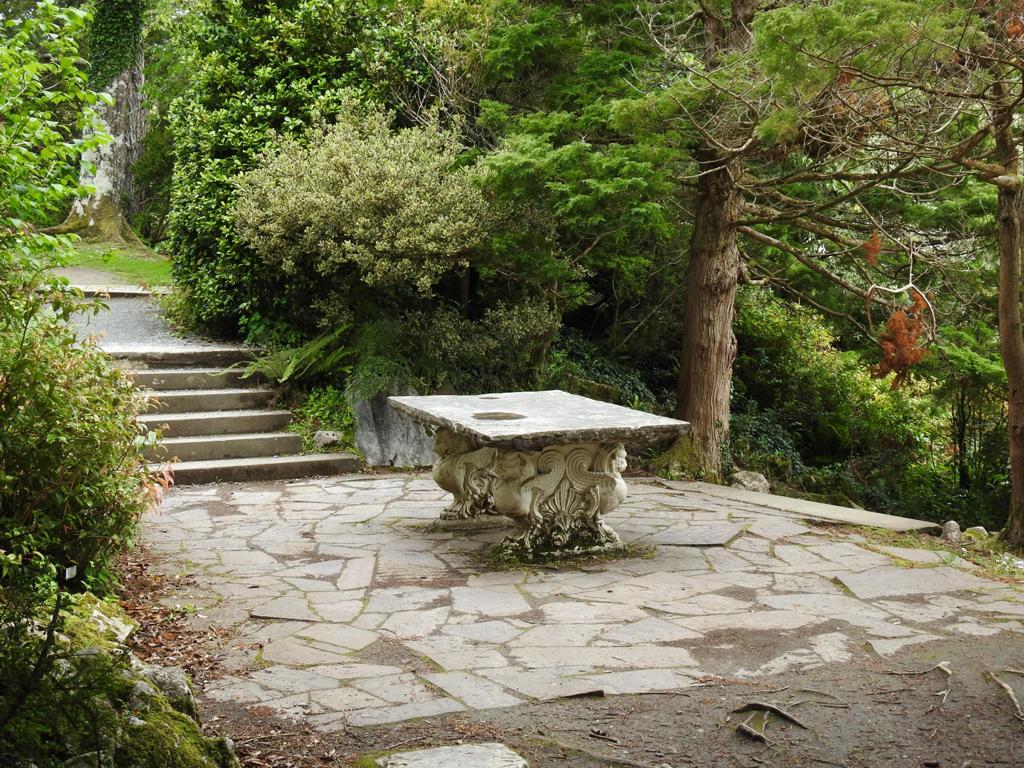
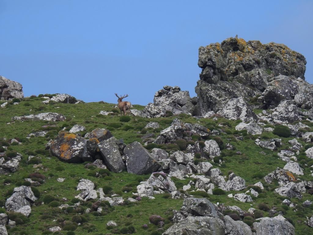
Killarney National Park
In the southwest of County Kerry is an expanse of rugged, mountainous country that sweeps down to the world-famous Lakes of Killarney. Here, stretching across 10,000 hectares, lies Killarney National Park, with its unforgettable combination of mountains, lakes, woodland and waterfalls.
Killarney National Park incorporates the lakes as well as Kenmare and Muckross Estate, including Bourn Vincent Memorial Park, presented to the State in 1932 as Ireland’s first National Park.
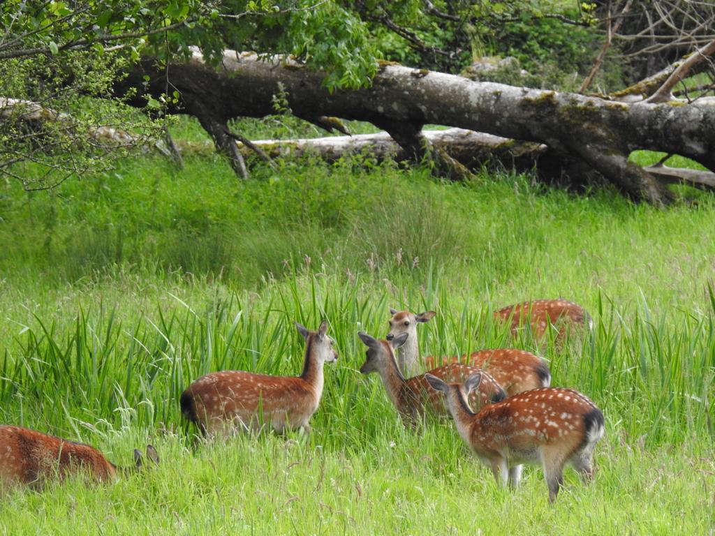
The red deer in Killarney National Park are the last surviving indigenous herd of red deer in Ireland. The Killarney herd has been here since Neolithic times.
The Trees within Reenadinna Woods are estimated to be between 200 and 250 years old.
Killarney National Park is unique in its close proximity to Killarney town. It has many heritage sites including Muckross House and Gardens, Killarney House and Gardens, Ross Castle, Copper Mines, Innisfallen, Muckross Abbey, the Briceen and Old Weir Bridges.
(pictures below)
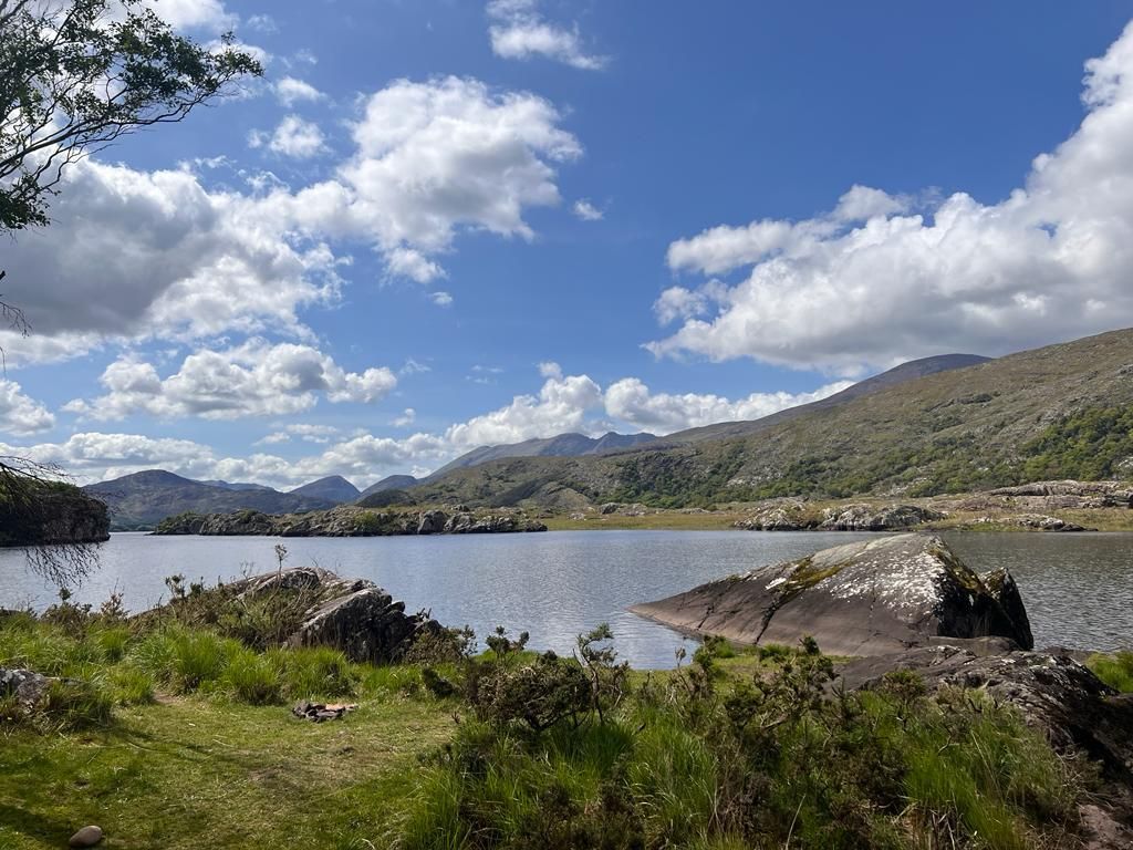


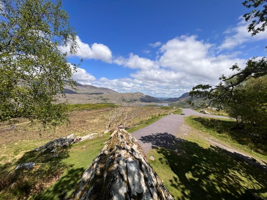
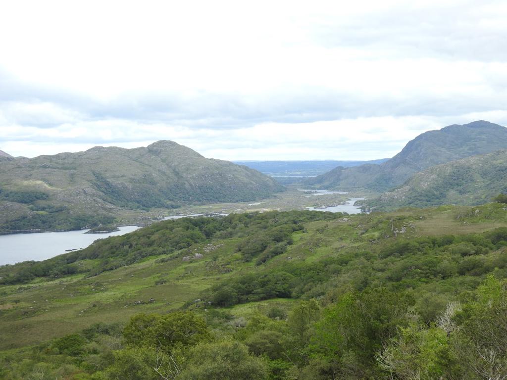
Ladies View
The Ladies View - a title created in 1861 after a visit to this point by Queen Victoria's body attendants.
This is a major viewing stop for all visitors because here is presented the Lakes of Killarney in their fullclassical beauty.
In the foreground is the Upper Lake and in middle distance is a glimpse of the Long Range River which leads onward to the Middle Lake and Lack Lein.
Distance: 64km
(pictures below)
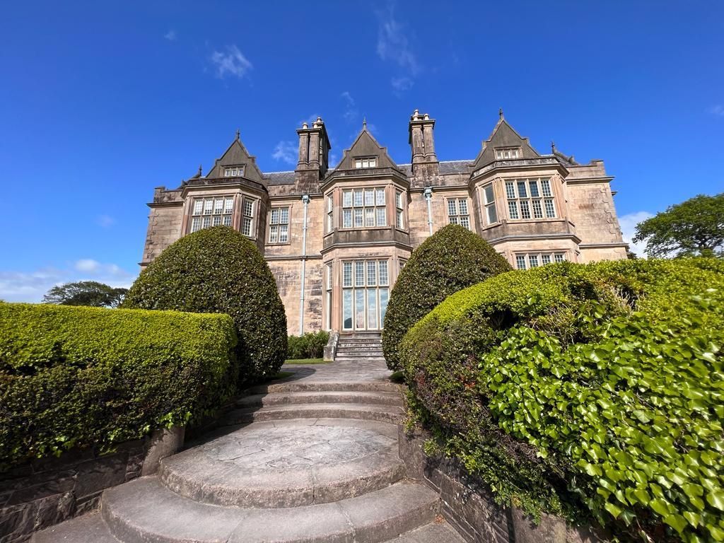
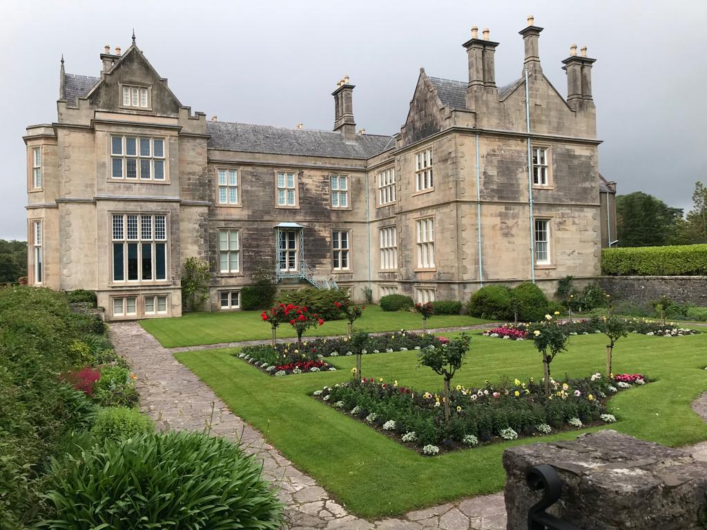
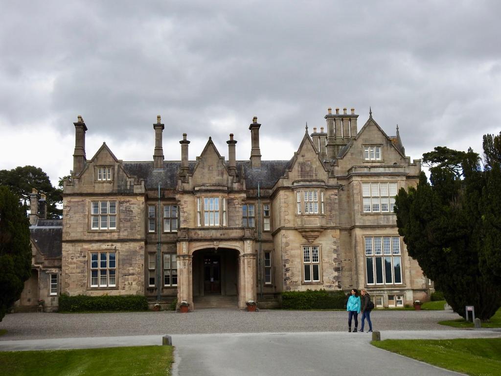
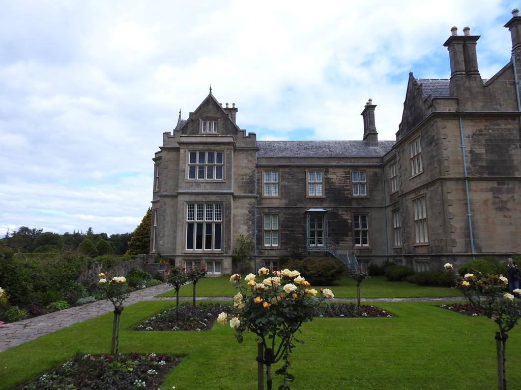
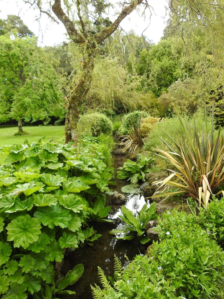
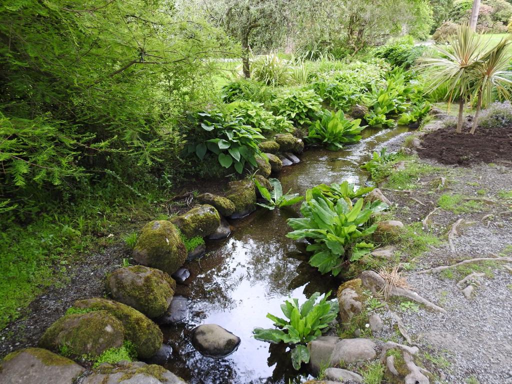
Muckross House and Garden
It was built in the Tudor style. Extensive improvements were undertaken in the 1850s in preparation for the visit of Queen Victoria in 1861.
Distance: 69km
(Pictures below)


The Blasket Islands
The Blasket Islands are an uninhabited group of islands off the west coast of the Dingle Peninsula. The last island to hold a significant population, Great Blasket Island, was abandoned in 1954 due to population decline and is best known for a number of gifted Irish language writers who vividly described their way of life and who kept alive old Irish folk tales of the land
Distance: 95km to Dingle than with a Boat
(pictures below)


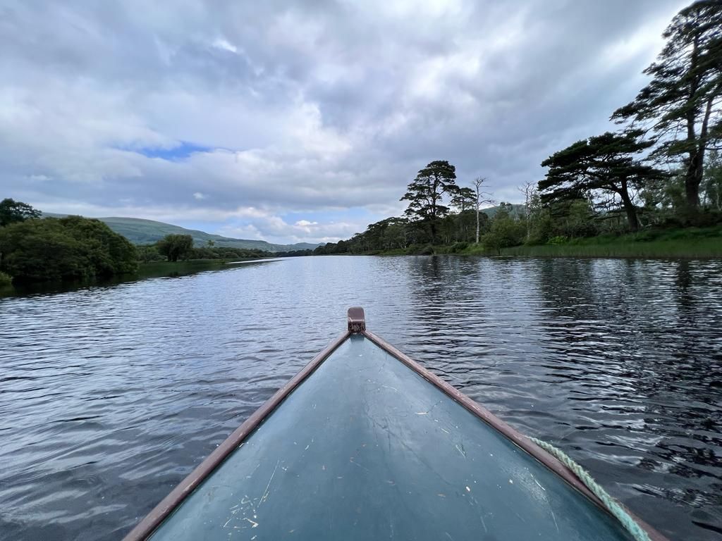
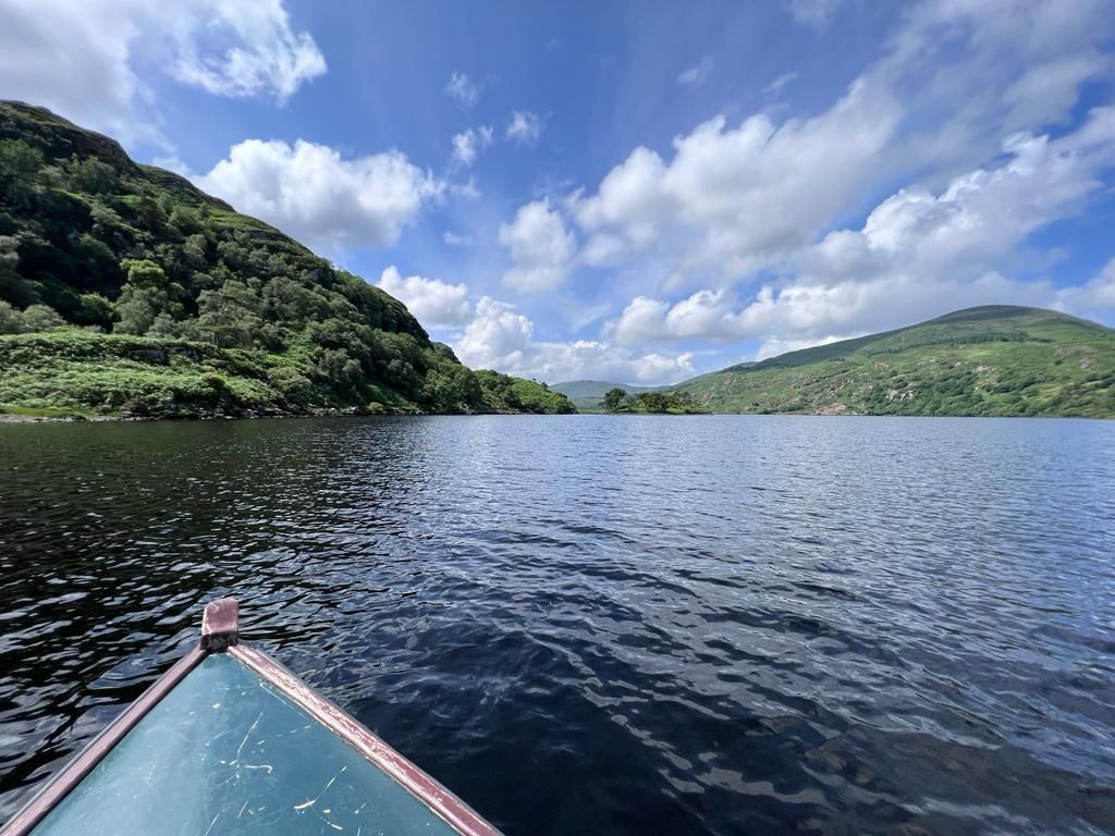
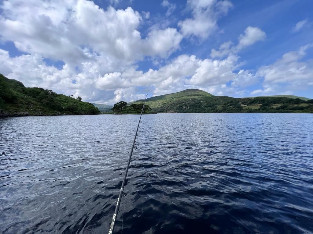
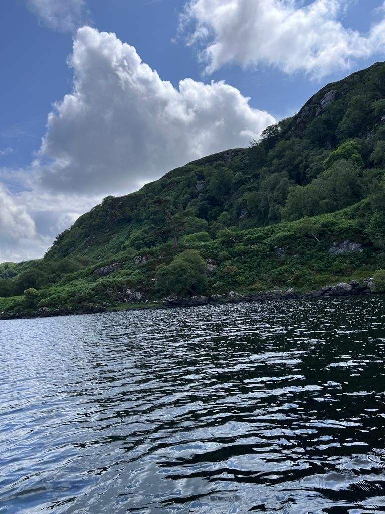
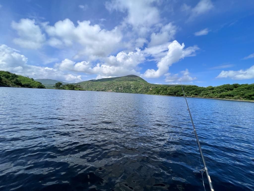
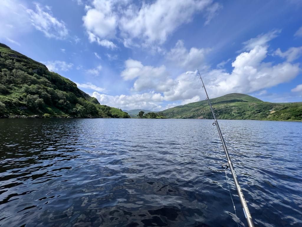
Lough Caragh
Lough Caragh (Irish: Loch Cárthaí), is a lake in the Reeks District in County Kerry, Ireland. The lake was formed by the damming of the Caragh River.
Perfect for boat tours and fishing,
Distance:35km
(pictures below)